Meru Betiri National Park, National park in East Java, Indonesia
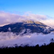
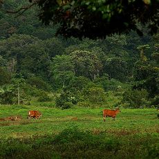
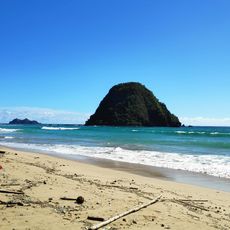
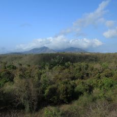
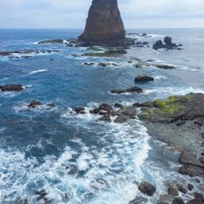
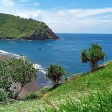
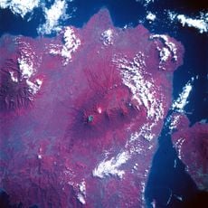
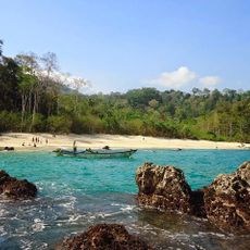
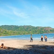
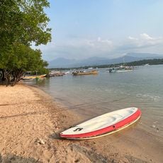
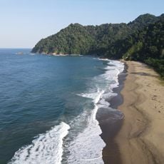
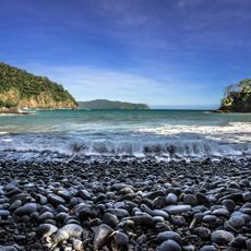
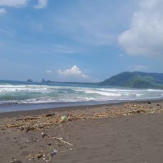
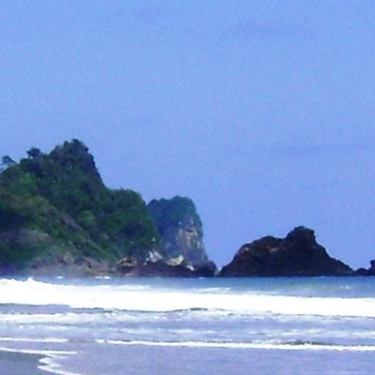
Meru Betiri is a national park in Jember and Banyuwangi, East Java, Indonesia, covering 52,626 hectares of tropical rainforest, mangroves, coastal forest, swamp, and reef. Its terrain rises from sandy coasts to highlands, with Mount Betiri reaching 1,192 metres, the highest point in the park.
The forest was placed under protection by Dutch colonial authorities in 1931, when administrators recognized the importance of this area for rare animal species. The 1970s saw it designated as a wildlife reserve, and in 1997 the area gained its current status as a national park.
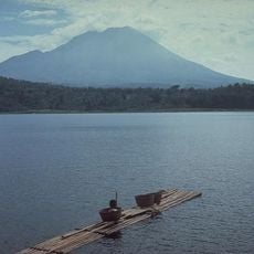
The park's name combines Mount Meru and Mount Betiri, its two highest points. In the villages around the edges, the national park management permits farming as long as it does not disturb the ecosystem, and runs programmes for mushroom growing and banana-chip making. A 2008 survey in Bandealit and Sarongan recorded at least 27 orchid species.
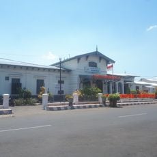
The park has two main entry points: Rajegwesi Beach near Sarongan, reached from Banyuwangi via Jajag, Pesanggaran and Sungai Lembu, and Andongrejo near Curahnongko, reached from Jember via Ambulu and Tempurejo. From these gates, tracks continue to Sukamade and Bandealit. The dry season runs from April to October, while rain falls from November to March.
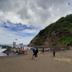
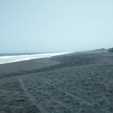
Along the coast at Sukamade, sea turtles lay their eggs in the sand, and during nesting season you can often watch them crawl up the beach at night. About 500 plant species grow here that local people have traditionally used as remedies.
The community of curious travelers
AroundUs brings together thousands of curated places, local tips, and hidden gems, enriched daily by 93,663 contributors worldwide.