
Gunung Sari, village in Mojokerto Regency, East Java, Indonesia
Location: Dawarblandong
Elevation above the sea: 53 m
GPS coordinates: -7.35083,112.40333
Latest update: March 11, 2025 03:18
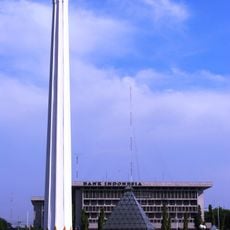
Heroes Monument
38.7 km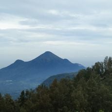
Mount Penanggungan
37.9 km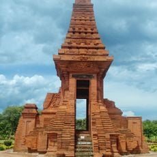
Trowulan
22.5 km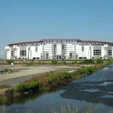
Gelora Bung Tomo Stadium
28.1 km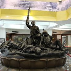
Heroes Monument
38.7 km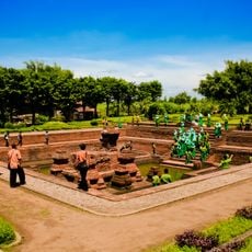
Tikus
24.6 km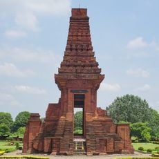
Bajang Ratu
24.2 km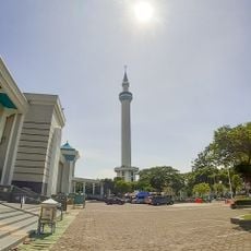
Al-Akbar Mosque
34.5 km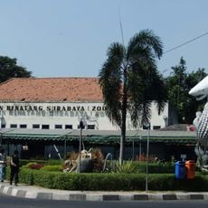
Surabaya Zoo
37.2 km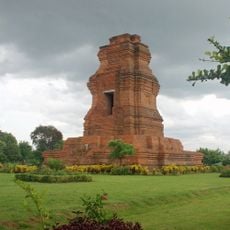
Candi Brahu
21.6 km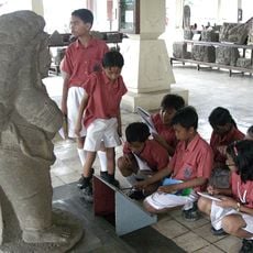
Trowulan Museum
23.4 km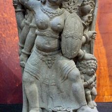
Mpu Tantular Museum
36.2 km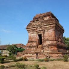
Pari Temple
36 km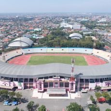
Gelora Delta Stadium
35.1 km
Arca Joko dolog
38.7 km
Gelora Joko Samudro Stadium
32.9 km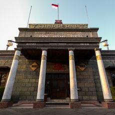
House of Sampoerna
38.9 km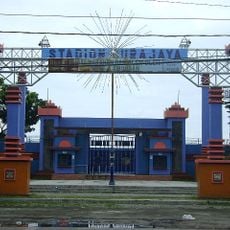
Surajaya Stadium
26.6 km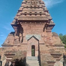
Dermo Temple
24.7 km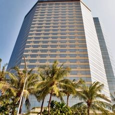
JW Marriott Surabaya
38 km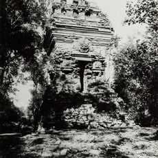
Bangkal temple
33.4 km
Pusat Pelatihan Lingkungan hidup
34.9 km
Museum Sepuluh Nopember
38.8 km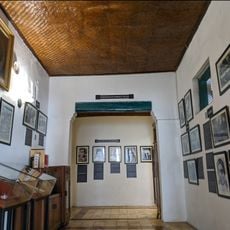
Museum H. O. S. Tjokroaminoto
38.5 km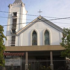
St. Joseph Church Mojokerto
13 km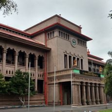
Kantoor van de Handelsvereeniging Amsterdam
38.7 km
Palace of Justice, Surabaya
38.8 km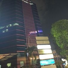
BRI Tower
38.3 kmReviews
Visited this place? Tap the stars to rate it and share your experience / photos with the community! Try now! You can cancel it anytime.
Discover hidden gems everywhere you go!
From secret cafés to breathtaking viewpoints, skip the crowded tourist spots and find places that match your style. Our app makes it easy with voice search, smart filtering, route optimization, and insider tips from travelers worldwide. Download now for the complete mobile experience.

A unique approach to discovering new places❞
— Le Figaro
All the places worth exploring❞
— France Info
A tailor-made excursion in just a few clicks❞
— 20 Minutes