Rungkut, Administrative district in Surabaya, Indonesia
Rungkut is an administrative district in Surabaya comprised of six distinct neighborhoods: Kali Rungkut, Rungkut Kidul, Kedung Baruk, Penjaringansari, Wonorejo, and Medokan Ayu. The area is organized around residential zones interspersed with commercial spaces and waterways that manage local drainage and water flow.
The district grew from a traditional settlement into a modern residential center as Surabaya expanded throughout the 20th century. This growth reflected the city's broader development and its shift toward urban living patterns.
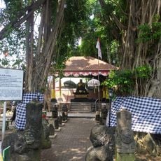
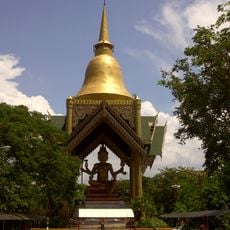
Local markets and community gathering spaces throughout the neighborhoods serve as social hubs where residents meet and conduct daily business. Religious buildings dot the area and play a central role in community life.
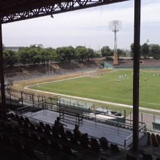
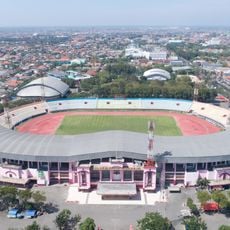
The district has good connections to central Surabaya via public transportation and hosts multiple administrative offices and institutions. Visitors can find schools, markets, and public services that are easily accessible throughout the area.
The Kali Rungkut waterway runs through the district as both a crucial water management infrastructure and a defining feature of daily life. This watercourse connects the different neighborhoods and shapes how residents move through and experience the area.
The community of curious travelers
AroundUs brings together thousands of curated places, local tips, and hidden gems, enriched daily by 60,000 contributors worldwide.