Sigi Regency, Administrative region in Central Sulawesi, Indonesia.
Sigi Regency is an administrative region in Central Sulawesi that spans diverse landscapes. It includes flat coastal zones as well as mountainous areas, with several smaller districts connected by a network of local roads.
The region was formed in 2008 through a division of a neighboring administrative area, marking an important moment in the reshaping of the region. This reorganization significantly changed the administrative boundaries of Central Sulawesi.
Local communities maintain their traditions through regular festivals and celebrations that shape daily life in the region. These customs are especially alive in villages, where people express their identity through shared practices.
The administrative center lies in Sigi Biromaru, which connects the different districts to the provincial capital through road links. Most visitors reach the region via the provincial capital, where several routes are available.
The region experienced major changes from a strong earthquake in 2018, with certain areas severely deformed by soil liquefaction. These geological shifts remain visible in the landscape today and shape how the terrain appears.
Location: Central Sulawesi
Capital city: Sigi Biromaru
Elevation above the sea: 507 m
Shares border with: Donggala Regency, Palu City, Parigi Moutong Regency, Poso Regency, North Luwu Regency, Central Mamuju Regency, Pasangkayu Regency
GPS coordinates: -1.38500,119.96700
Latest update: December 7, 2025 19:27

Lore Lindu National Park
28.5 km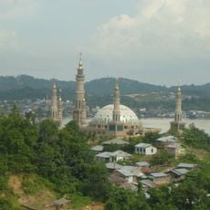
Samarinda Islamic Center Mosque
331.8 km
Jesus Buntu Burake
190.4 km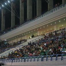
Palaran Stadium
327.9 km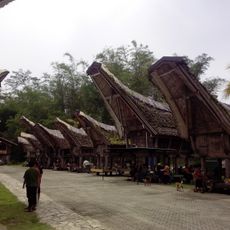
Kete Kesu
180 km
Mulawarman Museum
348.5 km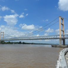
Kutai Kartanegara Bridge
346.1 km
Buntu Rantemario
222.9 km
Kepulauan Togean National Park
252.3 km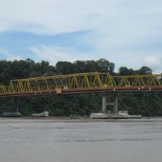
Mahakam Bridge
331.3 km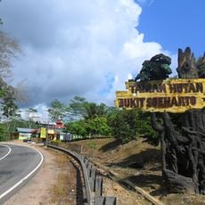
Bukit Soeharto Grand Forest Park
336.9 km
Kutai National Park
358.3 km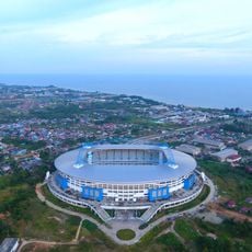
Batakan Stadium
336.9 km
Palopo Old Mosque
180.9 km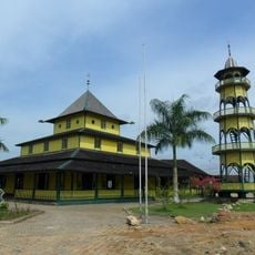
Shiratal Mustaqiem Mosque
327.9 km
Palu IV Bridge
56.9 km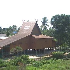
Wasaka Museum
348.6 km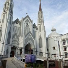
St. Mary's Cathedral, Samarinda
329.4 km
Floating Mosque of Palu
57.2 km
Colo
227.3 km
Tanjung Bara (East Kalimantan port)
334.1 km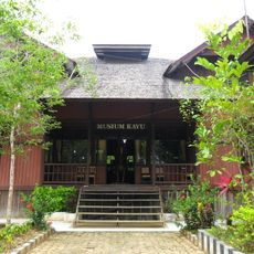
Tuah Himba Wood Museum
350.8 km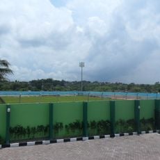
Persiba Stadium
349.5 km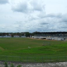
Rondong Demang Stadium
349.3 km
Pokekea Megalithic Site
43.8 km
Rumah Katu Marine Park
65 km
Sintuwu Maroso Square
87.7 km
Benteng weir
258.4 kmVisited this place? Tap the stars to rate it and share your experience / photos with the community! Try now! You can cancel it anytime.
Discover hidden gems everywhere you go!
From secret cafés to breathtaking viewpoints, skip the crowded tourist spots and find places that match your style. Our app makes it easy with voice search, smart filtering, route optimization, and insider tips from travelers worldwide. Download now for the complete mobile experience.

A unique approach to discovering new places❞
— Le Figaro
All the places worth exploring❞
— France Info
A tailor-made excursion in just a few clicks❞
— 20 Minutes