
Baines, locality in the Northern Territory, Australia
Location: Victoria Daly Region
GPS coordinates: -15.83272,129.56729
Latest update: March 25, 2025 22:13
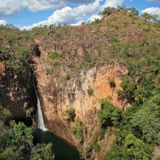
Litchfield National Park
341.2 km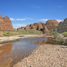
Purnululu National Park
210.3 km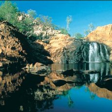
Nitmiluk National Park
365.5 km
Edith Falls
336.5 km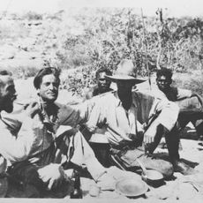
1932 Kimberley rescue
254.5 km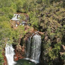
Florence Falls
331.3 km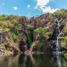
Wangi Falls
320.6 km
Lake Bennett
363.3 km
Delamere Air Weapons Range
247.6 km
Keep River National Park
47.1 km
Judbarra / Gregory National Park
99.4 km
Territory Wildlife Park
380 km
Drysdale River National Park
313.1 km
Cutta Cutta Caves Nature Park
341.9 km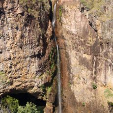
Tolmer Falls
317.5 km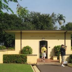
Adelaide River War Cemetery
334.2 km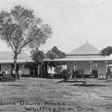
Alice Downs
275.6 km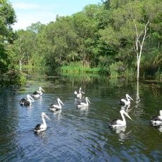
Territory Wildlife Park
380.3 km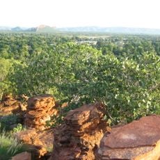
Mirima National Park
86.3 km
Marion Downs Sanctuary
256.1 km
Litchfield Banyan Tree Resort
347.2 km
Butterfly Farm Sanctuary
347.7 km
The Katherine Museum
329.3 km
Zebra Stone
346.1 km
The Never Never Museum
389.1 km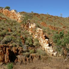
China Wall (Halls Creek)
332.9 km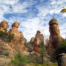
The Lost City
317.2 km
Kununurra Water Playground
89 kmReviews
Visited this place? Tap the stars to rate it and share your experience / photos with the community! Try now! You can cancel it anytime.
Discover hidden gems everywhere you go!
From secret cafés to breathtaking viewpoints, skip the crowded tourist spots and find places that match your style. Our app makes it easy with voice search, smart filtering, route optimization, and insider tips from travelers worldwide. Download now for the complete mobile experience.

A unique approach to discovering new places❞
— Le Figaro
All the places worth exploring❞
— France Info
A tailor-made excursion in just a few clicks❞
— 20 Minutes