South Buru Regency, Administrative regency in Maluku, Indonesia
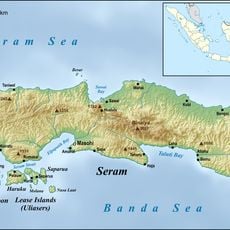
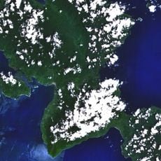
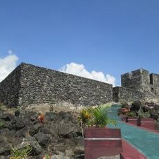
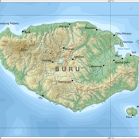
South Buru Regency is an administrative region in Maluku that encompasses the southern portion of Buru Island along with the smaller island of Ambalau. The territory spans over forested and rural areas divided into six administrative districts, with Namrole serving as the administrative center.
The regency was established on June 24, 2008, as an independent administrative entity after being separated from the original Buru Regency. This division was part of a broader administrative reform designed to create more manageable governance units.
The name reflects the region's southern location on Buru Island, and local communities maintain distinct traditions centered on farming and fishing practices. Visitors can observe how residents continue to work the land and waters using methods passed down through generations.
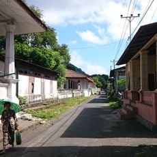
The regency is divided into six administrative districts distributed across the island area, each offering local services and facilities. Visitors should expect longer travel times between settlements due to the rural location and should plan to use local transportation options.
The region experiences an unusual rainfall pattern compared to other parts of Indonesia, with maximum precipitation occurring during the low-sun season. This weather shapes local agriculture and creates ecological conditions that differ significantly from neighboring areas.
The community of curious travelers
AroundUs brings together thousands of curated places, local tips, and hidden gems, enriched daily by 60,000 contributors worldwide.