Manusela National Park, National park on Seram Island, Indonesia
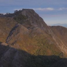
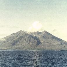
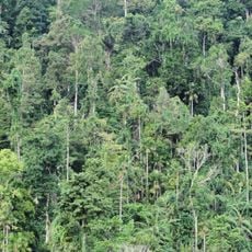
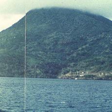
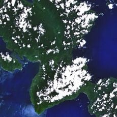
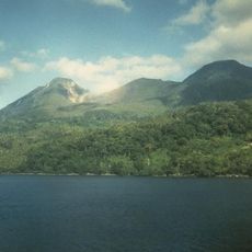
Manusela National Park covers 1,890 km² of Seram, about 11% of the island, and holds coastal forest, swamp forest, lowland rainforest and montane rainforest. Six mountains rise within it, the highest being Mount Binaiya at 3,027 m. Its karst landscapes include Goa Hatusaka on Mount Hatu Saka, near the Saleman-Sawai coast, currently the deepest cave in Indonesia.
The state created initial protected areas in this region in the 1970s to conserve the natural landscape. These smaller reserves were later combined and officially established as a large national park.
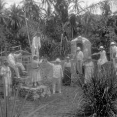
Indigenous communities live within the park with their own languages and cultural practices that shape daily life in their villages. The way they interact with the forest and maintain their traditions is visible to visitors walking through these areas.
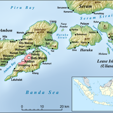
There are two main entry points: from Sawai and Wahai on the north coast, or from Piliana and Hatumete in Tehoru District to the south. The Hatumete trail is recommended for climbers, with slopes reaching 30 percent. From Ambon, take the daily ferry from Liang Harbour to Masohi (about two hours), then three hours by road to Huaulu; fast boats from Tulehu to Amahai take 90 minutes.
Beneath limestone formations lies one of the country's deepest cave systems, the Goa Hatusaka cave network. This underground system attracts cave explorers interested in understanding its extent and structure.
The community of curious travelers
AroundUs brings together thousands of curated places, local tips, and hidden gems, enriched daily by 94,126 contributors worldwide.