Mount Nila, Stratovolcano in Banda Sea, Indonesia
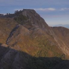
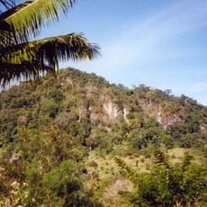
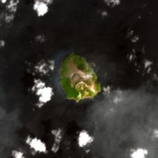
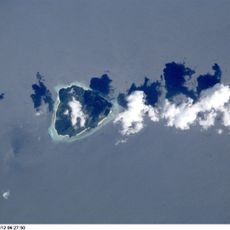
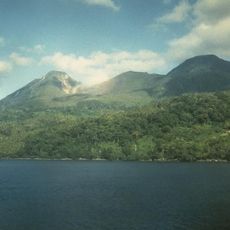
Mount Nila is a stratovolcano that forms the whole of Nila Island, a 5 by 6 km island in the Barat Daya Islands of the Banda Sea. It is dominantly andesitic, with a low caldera whose rim breaches the sea surface on the south and east sides. A young forested cone rises to 781 m.
The last recorded eruption happened in 1968 and forced the evacuation of Rumadai village. Since then the volcano has remained quiet, though its interior continues to show signs of geological activity.
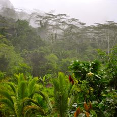
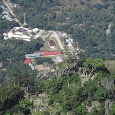
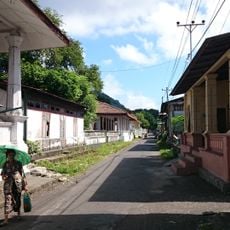
The island's name is shared with the volcano that built it, and the 1968 eruption left Rumadai abandoned, so the only settlement traces on Nila are those of a village people left behind. The young forest now covering the 781 m cone is the visible result of regrowth since that evacuation.
Visitors should be aware that gas releases occur from depth in the northern and western sections of the island. It helps to understand these natural conditions and take appropriate precautions when exploring this geological location.
The caldera rim is broken on the south and east, where the sea enters the crater area. The island measures about 5 by 6 km, and the young forested cone inside the caldera reaches 781 m.
The community of curious travelers
AroundUs brings together thousands of curated places, local tips, and hidden gems, enriched daily by 93,784 contributors worldwide.