Raja Ampat Islands, Marine protected archipelago in Southwest Papua, Indonesia
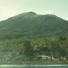
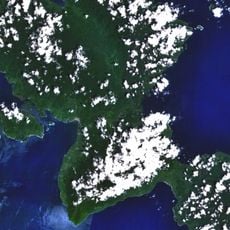
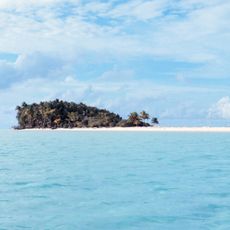
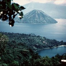
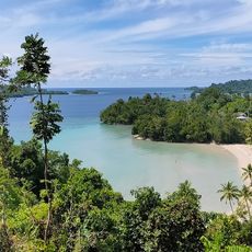
Raja Ampat is a marine protected archipelago off the northwest coast of New Guinea in Southwest Papua, Indonesia. The four main islands of Misool, Salawati, Batanta, and Waigeo sit among more than a thousand smaller islets and shallows across an area of roughly 70,000 square kilometers (27,000 square miles).
Archaeological evidence shows people lived on the islands more than 50,000 years ago, when Misool and Salawati were still connected to the New Guinea mainland. The waters remained passage routes for traders and settlers from different parts of the Pacific over millennia.
Residents speak a mix of Papuan and Austronesian languages, reflecting the long settlement history of the region. Many families work as fishers or guides today, combining their knowledge of the waters with reef protection efforts.
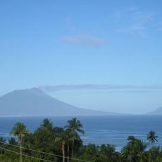
Most visitors fly into Dominique Edward Osok Airport in Sorong, then take a ferry to Waisai on Waigeo Island. Conditions on the water vary by season, with calmer seas usually expected between October and April.
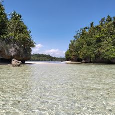
The waters hold roughly 600 coral species and 1,700 reef fish species, more than any other region on Earth. Scientists regularly discover new species here, making the islands a living laboratory for marine research.
The community of curious travelers
AroundUs brings together thousands of curated places, local tips, and hidden gems, enriched daily by 60,000 contributors worldwide.