Enable Location

We need your location to show you interesting places around you

Discover nearby places

Find interesting locations and hidden gems around you

Precise directions

Get accurate directions and distances to places

Your location is never shared with other users. It's only used when you tap the location button.

Naracoorte

Log in to your account

Start exploring — it's free

Trusted by 61,841 travelers worldwide

Continue with Google
Continue with Apple
or

We will send you a code to connect

By continuing, you accept our Terms and Conditions and our Privacy Policy

Check your inbox

We've sent a pincode in your inbox. Please enter the code below.

Naracoorte

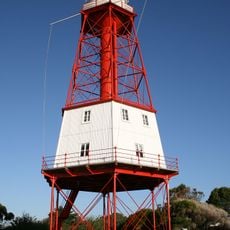
Naracoorte, Administrative center in Limestone Coast region, South Australia.

Description

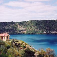
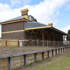
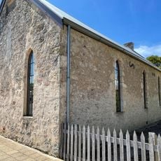
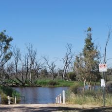
Naracoorte is an administrative center in the Limestone Coast region of South Australia. The town sits within fertile farmland and serves as the main hub of the Naracoorte Lucindale Council, hosting government offices, schools, and medical facilities for the surrounding area.

History

The town formed in 1998 when two separate council districts merged into a single administrative unit. This reorganization streamlined services and shaped how the region has developed since then.

Culture

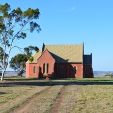
The town serves as a gathering place where residents connect through schools, library services, and community events that shape local life. These spaces reflect how people here maintain their bonds and pass knowledge to younger generations.

Practical

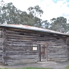
The town is easily accessible and provides basic services including shops, accommodation, and information points for visitors and residents. It helps to explore the local facilities during standard business hours when all services are fully available.

Did you know?

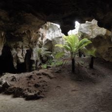
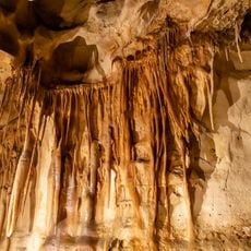
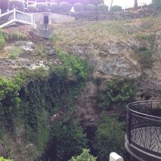
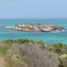
Nearby lies Naracoorte Caves National Park with limestone caverns and ancient fossil deposits recognized as a World Heritage site by UNESCO. These geological treasures make the wider area significant for paleontology and earth science research.

Location
Inception
1845
Elevation above the sea
57 m
Shares border with
Moyhall, Mount Light, Lochaber, Wild Dog Valley, Stewart Range, Hynam
GPS coordinates
-36.95000,140.75000
Latest update
December 7, 2025 10:06

AroundUs brings together thousands of curated places, local tips, and hidden gems, enriched daily by 60,000 contributors worldwide. Discover all places nearby (South Australia).

« Naracoorte - Administrative center in Limestone Coast region, South Australia » is provided by Around Us (aroundus.com). Images and texts are derived from Wikimedia project under a Creative Commons license. You are allowed to copy, distribute, and modify copies of this page, under the conditions set by the license, as long as this note is clearly visible.

Discover hidden gems everywhere you go!

From secret cafés to breathtaking viewpoints, skip the crowded tourist spots and find places that match your style. Our app makes it easy with voice search, smart filtering, route optimization, and insider tips from travelers worldwide. Download now for the complete mobile experience.

Around Us App Screenshot

A unique approach to discovering new places

Le Figaro

All the places worth exploring

France Info

A tailor-made excursion in just a few clicks

20 Minutes

Around Us
Travel Guide & Maps
Download

Send to your phone

QR Code
1

Open the camera app on your mobile.

2

Point at the QR code with your camera. A notification will appear.

3

Tap the notification to open the link.