
Ingle Farm, suburb of Adelaide, South Australia
Location: City of Salisbury
GPS coordinates: -34.82758,138.64545
Latest update: April 20, 2025 12:11
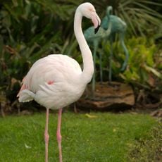
Adelaide Zoo
10.2 km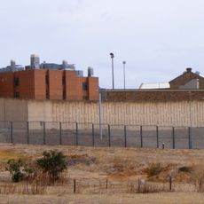
Yatala Labour Prison
2.4 km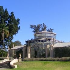
Adelaide Botanic Garden
10.6 km
Wang Wang and Fu Ni
10.3 km
State Herbarium of South Australia
10.4 km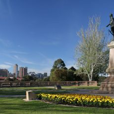
Light's Vision
10.6 km
National Wine Centre of Australia
10.6 km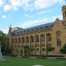
Bonython Hall
11 km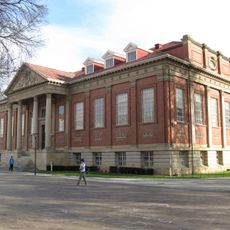
Barr Smith Library
10.8 km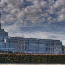
Adelaide Australia Temple
7.3 km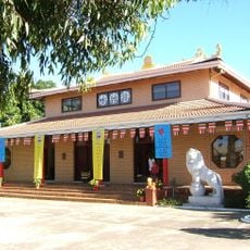
Pháp Hoa Temple
10.8 km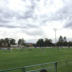
Adelaide City Park
2.8 km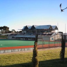
State Hockey Centre
3.8 km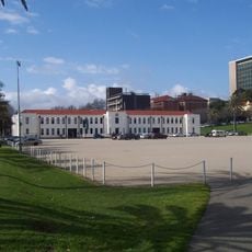
Torrens Parade Ground
10.8 km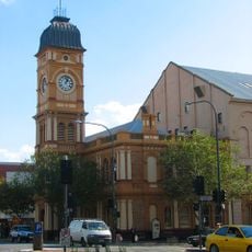
Norwood Town Hall
10.4 km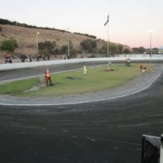
Sidewinders Speedway
8.5 km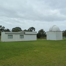
The Heights Observatory
3.8 km
Carclew
10.6 km
Dry Creek
2.2 km
Bowden development
10.1 km
Dry Creek explosives depot
6 km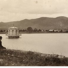
Thorndon Park Reserve
6.5 km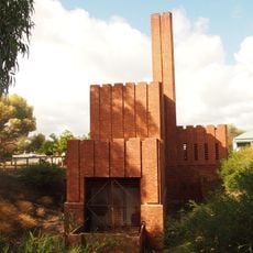
Hindmarsh Incinerator
10.2 km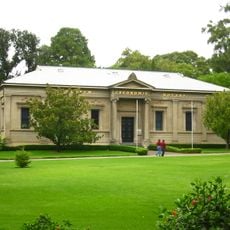
Santos Museum of Economic Botany
10.5 km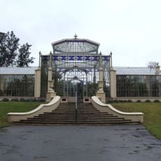
Glasshouse in the Adelaide Botanic Gardens
10.6 km
Civic Park
4 km
The David Roche Foundation
9.9 km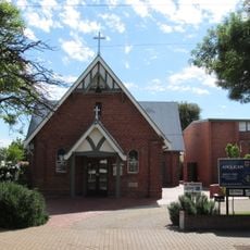
St Philip's Anglican Church, Broadview
6.4 kmReviews
Visited this place? Tap the stars to rate it and share your experience / photos with the community! Try now! You can cancel it anytime.
Discover hidden gems everywhere you go!
From secret cafés to breathtaking viewpoints, skip the crowded tourist spots and find places that match your style. Our app makes it easy with voice search, smart filtering, route optimization, and insider tips from travelers worldwide. Download now for the complete mobile experience.

A unique approach to discovering new places❞
— Le Figaro
All the places worth exploring❞
— France Info
A tailor-made excursion in just a few clicks❞
— 20 Minutes