
Cast Iron Urinal, public toilet in Melbourne, Australia
Location: City of Melbourne
GPS coordinates: -37.80400,144.95900
Latest update: April 17, 2025 10:59
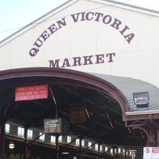
Queen Victoria Market
377 m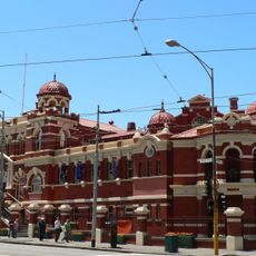
City Baths, Melbourne
484 m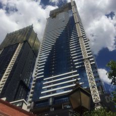
Vision Apartments
383 m
Victorian Trades Hall
667 m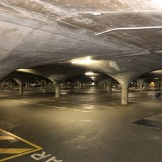
South Lawn car park
620 m
Eq. Tower
649 m
Light House Melbourne
512 m
RMIT Design Hub
407 m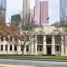
Emily McPherson College
643 m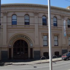
Metropolitan Meat Market
503 m
RMIT Swanston Academic Building
582 m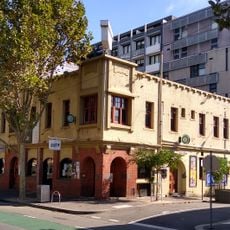
John Curtin Hotel
645 m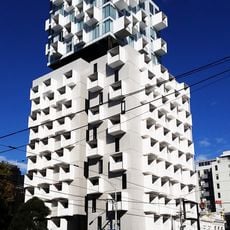
Upper House, Melbourne
408 m
Bali Memorial
412 m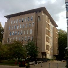
John Medley Building
545 m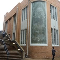
189, Frank Tate Building
645 m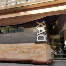
The Dax Centre
649 m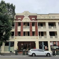
Carlton Fire Station
539 m
1888 Building
595 m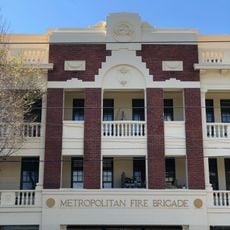
No. 3 Carlton Fire Station
549 m
Portrait
218 m
Gatekeeper's Cottage
491 m
Swanston Square
372 m
Standing By Tunnerminnerwait and Maulboyheenner
593 m
RMIT Building 9
609 m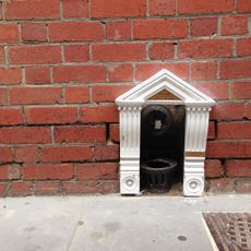
Gossard Public Nook
521 m
Vice Chancellor's House
531 m
St Marys Church of England
537 mReviews
Visited this place? Tap the stars to rate it and share your experience / photos with the community! Try now! You can cancel it anytime.
Discover hidden gems everywhere you go!
From secret cafés to breathtaking viewpoints, skip the crowded tourist spots and find places that match your style. Our app makes it easy with voice search, smart filtering, route optimization, and insider tips from travelers worldwide. Download now for the complete mobile experience.

A unique approach to discovering new places❞
— Le Figaro
All the places worth exploring❞
— France Info
A tailor-made excursion in just a few clicks❞
— 20 Minutes