Chest opened
+${chestReward.xp} XP
Explorer
NOUVEAU ×${chestReward.collectible.quantity}
tapez pour fermer

See the monuments around you in AR Open chests in the app

Around Us is built for your phone — point your camera at the streets and discover the monuments and places around you in augmented reality. Around Us is built for your phone — chests unlock when you walk, explore and capture nearby places.

•

Enable Location

We need your location to show you interesting places around you

Discover nearby places

Find interesting locations and hidden gems around you

Precise directions

Get accurate directions and distances to places

Your location is never shared with other users. It's only used when you tap the location button.

Mount Donna Buang

Log in to your account

Start exploring — it's free

Trusted by 93,375 travelers worldwide

Continue with Google
Continue with Apple
or

We will send you a code to connect

By continuing, you accept our Terms and Conditions and our Privacy Policy

Check your inbox

We've sent a pincode in your inbox. Please enter the code below.

Mount Donna Buang

Mount Donna Buang, Mountain summit in Yarra Ranges National Park, Australia

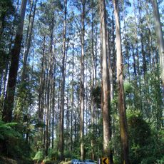
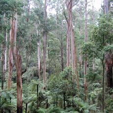
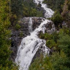
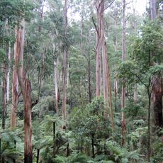
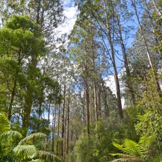
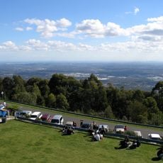
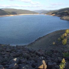
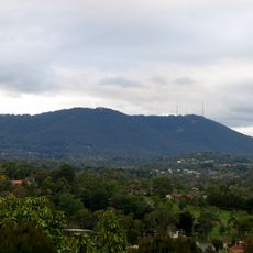
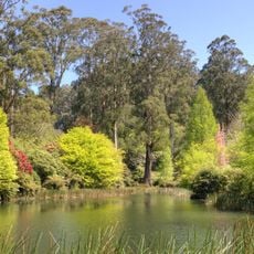
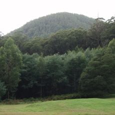
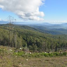
Mount Donna Buang is a 1,250-metre summit in the Yarra Ranges National Park, about 94 kilometres from Melbourne. Its upper slopes are covered with alpine ash and sub-alpine snow gums, and the summit is the closest snowfield to Melbourne. The mountain is part of the Yarra Ranges National Park, established in 1995, and the nearest serviced town is Warburton.

In the 1860s, police magistrate Joseph Anderson Panton named the 1,250-metre mountain Mount Acland. The present name, Mount Donna Buang, probably comes from the Wurundjeri language and means 'the body of the mountain'. A walking track to the summit was cut in the 1890s, and the wider Donna Buang Bridle Track, followed by today's road from Warburton, opened in 1912.

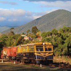
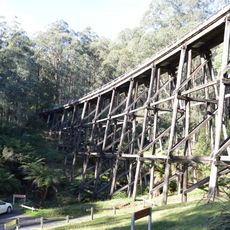
The name "Donna Buang" probably comes from the Wurundjeri language and is said to mean "the body of the mountain". The summit was long called Mount Acland, the name given in the 1860s by police magistrate Joseph Anderson Panton. Visitors today see regrown forest where cable-hauled tramways once carried logs to Warburton sawmills.

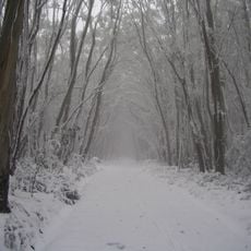
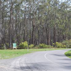
The sealed Donna Buang Road runs from Warburton to just past the Mount Donna Buang Summit Road junction; Acheron Way branches off about halfway up towards Marysville, with a 12 km unsealed middle section. The climb averages 6.2% over 16.6 km, drawing cyclists and motorcyclists. Snow cover is erratic, so check conditions before relying on snow play.

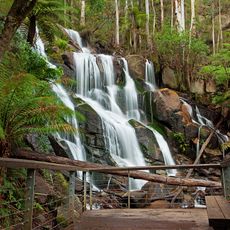
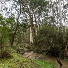
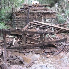
The Mount Donna Buang Skywalk at nearby Cement Creek is a canopy walkway through myrtle beech and mountain ash trees. Logging on the mountain between the early 1900s and mid-1920s used seven cable-hauled tramways, and tram rails and cables still lie in the regrown forest.

The community of curious travelers

AroundUs brings together thousands of curated places, local tips, and hidden gems, enriched daily by 93,375 contributors worldwide.

Start exploring
GPS coordinates
-37.70652,145.68118
Latest update
October 31, 2026 06:17
Reviews
Share your experience

No review yet

Discussions
Start a discussion...

No discussion yet

« Mount Donna Buang - Mountain summit in Yarra Ranges National Park, Australia » is provided by Around Us (aroundus.com). Images and texts are derived from Wikimedia project under a Creative Commons license. You are allowed to copy, distribute, and modify copies of this page, under the conditions set by the license, as long as this note is clearly visible.

Discover hidden gems everywhere you go!

From secret cafés to breathtaking viewpoints, skip the crowded tourist spots and find places that match your style. Our app makes it easy with voice search, smart filtering, route optimization, and insider tips from travelers worldwide. Download now for the complete mobile experience.
Around Us App Screenshot
❝

A unique approach to discovering new places❞

— Le Figaro

❝

All the places worth exploring❞

— France Info

❝

A tailor-made excursion in just a few clicks❞

— 20 Minutes

Around Us
Travel Guide & Maps
Download

Send to your phone

QR Code
1

Open the camera app on your mobile.

2

Point at the QR code with your camera. A notification will appear.

3

Tap the notification to open the link.