Denison, Electoral division in Tasmania, Australia.
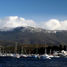
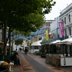
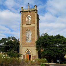
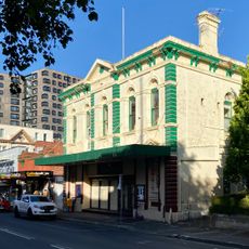
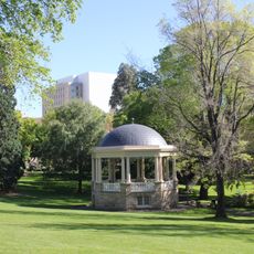
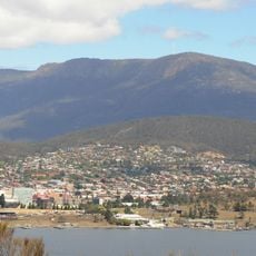
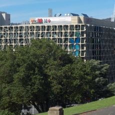
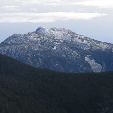
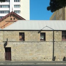
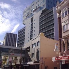
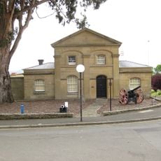
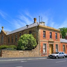
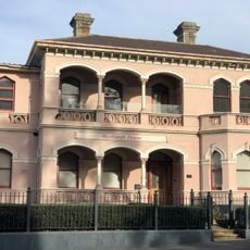
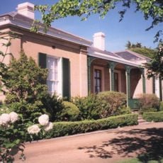
The Division of Denison is an electoral district in Tasmania that extends from Austins Ferry in the north to Kingston in the south across approximately 289 square kilometers. The territory combines urban and suburban areas with residential neighborhoods, commercial zones, and industrial facilities.
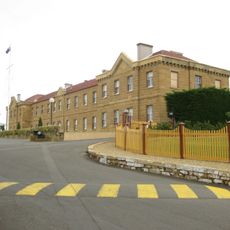
The electoral division was created in 1903 and named after Sir William Denison, who served as Lieutenant-Governor of Tasmania between 1847 and 1855. The naming reflects the region's colonial history and recognition of his administrative leadership during that period.
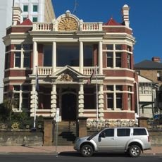
The division brings together several communities across central Tasmania, from residential areas to commercial centers where people share daily spaces and facilities. These neighborhoods form the social fabric of the broader metropolitan region.
Electoral information and boundary maps for this division are available online through the Australian Electoral Commission website, where documents can be downloaded as PDF files. These resources help visitors understand the district's current boundaries and administrative details.
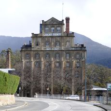
The district is home to several specialized industries including catamaran construction, chocolate manufacturing, and brewery operations that give the area economic variety. These facilities serve as significant employers and shape the local commercial character.
The community of curious travelers
AroundUs brings together thousands of curated places, local tips, and hidden gems, enriched daily by 60,000 contributors worldwide.