Bogong National Park, former national park in Victoria, Australia
Location: Victoria
Elevation above the sea: 1,788 m
GPS coordinates: -36.86375,147.34903
Latest update: March 18, 2025 11:08
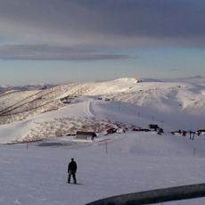
Mount Hotham
23.2 km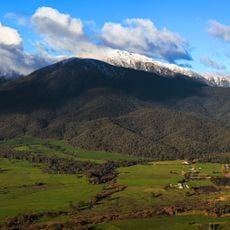
Mount Bogong
15.1 km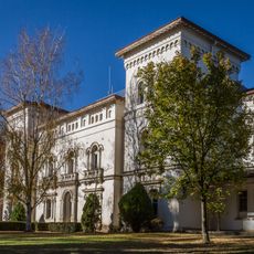
Beechworth Asylum
80.2 km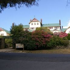
Mount Buffalo National Park
54.6 km
Alpine National Park
31.6 km
Bicentennial National Trail
41.7 km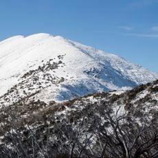
Mount Feathertop
19.1 km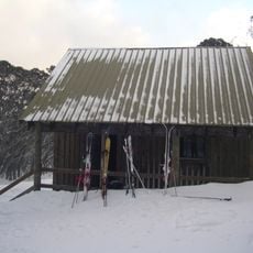
Mount Stirling
81.1 km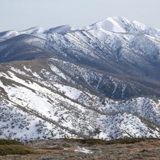
Australian Alps National Parks and Reserves
59.9 km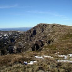
Mount Howitt
71.3 km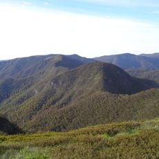
Mount Buggery
70.2 km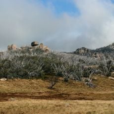
The Horn
52.7 km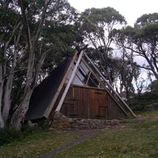
Vallejo Gantner Hut
69.4 km
Mount Gibbo
61.3 km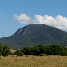
Mount Tambo
43.8 km
Mount Buffalo Chalet
49.7 km
Mr. Stringy
79 km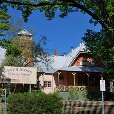
Wandiligong Primary School
34.3 km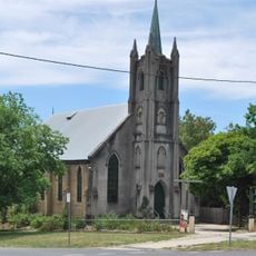
St Andrew's Uniting church, Beechworth
81.6 km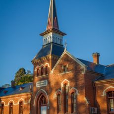
Beechworth Primary School
81.5 km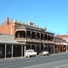
Tanswell's Commercial Hotel
81.5 km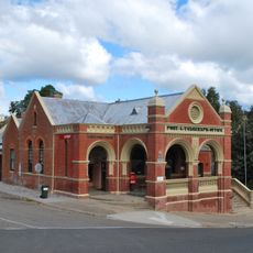
Omeo Post Office
34.1 km
Old Murmungee Hall
74.8 km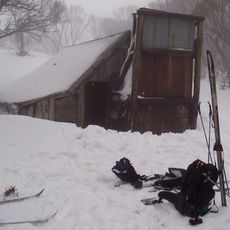
Wallace's Hut
5.2 km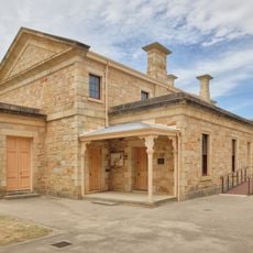
Beechworth Justice Precinct
81.5 km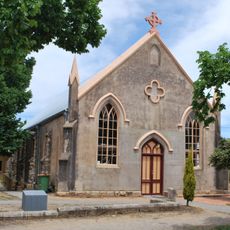
Methodist church, Beechworth
81.5 km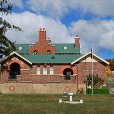
Omeo Justice Precinct
34.1 km
Bank of New South Wales building, Beechworth
81.6 kmReviews
Visited this place? Tap the stars to rate it and share your experience / photos with the community! Try now! You can cancel it anytime.
Discover hidden gems everywhere you go!
From secret cafés to breathtaking viewpoints, skip the crowded tourist spots and find places that match your style. Our app makes it easy with voice search, smart filtering, route optimization, and insider tips from travelers worldwide. Download now for the complete mobile experience.

A unique approach to discovering new places❞
— Le Figaro
All the places worth exploring❞
— France Info
A tailor-made excursion in just a few clicks❞
— 20 Minutes