Lake Wānaka, lake in New Zealand
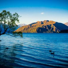
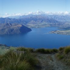
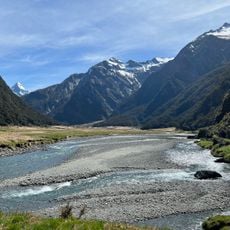
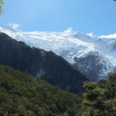
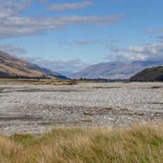
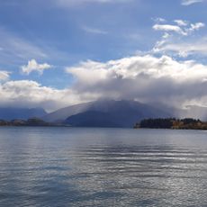
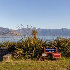
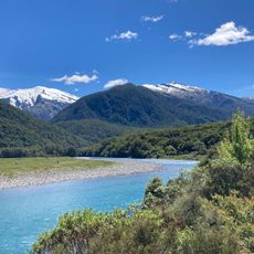
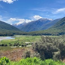
Lake Wānaka is New Zealand's fourth-largest lake, covering about 198 km² in a glacier-carved U-shaped valley in Otago. It runs roughly 42 km north to south and is 10 km wide at its southern end. The western shore rises to peaks over 2,000 m, and the lake is fed by the Matukituki and Makarora rivers, draining into the Clutha River / Mata-Au.
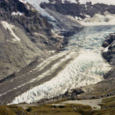
The lake was formed thousands of years ago by glaciers that carved the valley, which later filled with water. Māori people used the region for centuries to gather food, before European settlers arrived in the late 1800s and developed the land for farming.
Wānaka is the South Island Māori dialect form of wānanga, meaning the lore of the tohunga or a place of learning. Ngāi Tahu tell that the lake was dug by the Waitaha explorer Rākaihautū with his foot plough Tūwhakaroria. The name was officially updated to Lake Wānaka in 2019.
The lake is fed by the Matukituki and Makarora Rivers and drains into the Clutha River / Mata-Au at its southern end, where the towns of Wānaka and Albert Town sit. The western shore rises to peaks over 2,000 metres, while the eastern peaks are lower. The lake is protected by the Lake Wanaka Preservation Act of 1973, and its shoreline remains unmodified.
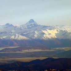
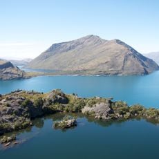
The lake's western shore rises to peaks over 2,000 metres, while the eastern peaks are lower. Four small islands lie within the lake, including Mou Waho, which holds a pest-free ecological sanctuary. The lake is the source of the Clutha River / Mata-Au, New Zealand's second-longest river.
The community of curious travelers
AroundUs brings together thousands of curated places, local tips, and hidden gems, enriched daily by 94,783 contributors worldwide.