
Matakitaki a Kupe Historic Area, PALLISER BAY
Location: South Wairarapa District
GPS coordinates: -41.60997,175.28196
Latest update: March 30, 2025 17:18
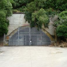
Wainuiomata Tunnel
50.2 km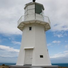
Pencarrow Head Lighthouse
45.6 km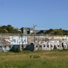
Fort Ballance
51.2 km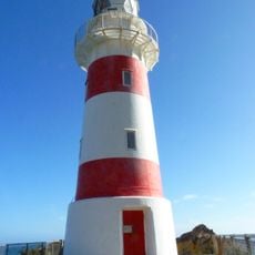
Cape Palliser Lighthouse
703 m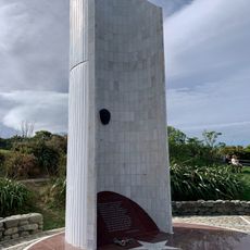
Atatürk Memorial
48.7 km
Mount Matthews
36.4 km
Ngā Rā-a-Kupe
1.4 km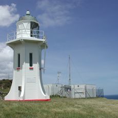
Baring Head Lighthouse
41 km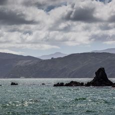
Steeple Rock/Te Aroaro-o-Kupe
48.6 km
Aorangi Forest Park
22.1 km
Remutaka Forest Park
36.4 km
Taputeranga Marine Reserve
51.2 km
12 Fife Lane
50.1 km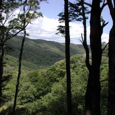
East Harbour Regional Park
47.2 km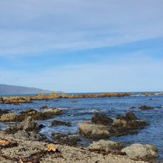
Te Raekaihau
50.3 km
Carkeek Observatory
51.8 km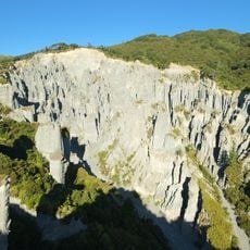
Pūtangirua Pinnacles
18.4 km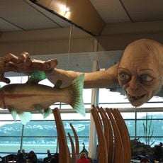
Giant Gollum sculpture in Wellington Airport
50.2 km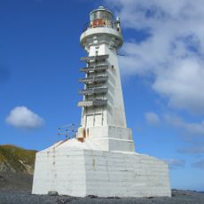
Pencarrow Sector Light
45.7 km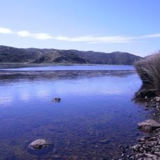
Lake Kohangatera and Lake Kohangapiripiri Scientific Reserve
43.9 km
Wainuiomata Historical Museum
46.2 km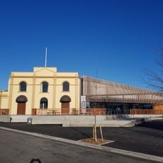
Martinborough Library
46 km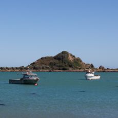
Tapu te Ranga
51.7 km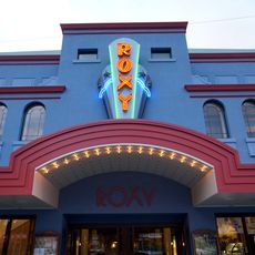
Roxy Cinema
50.8 km
Putangirua Pinnacles Scenic Reserve
18.1 km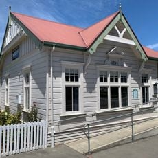
Colonial Museum
46 km
Bank of New Zealand
46.1 km
Patuna Chasm
28.4 kmReviews
Visited this place? Tap the stars to rate it and share your experience / photos with the community! Try now! You can cancel it anytime.
Discover hidden gems everywhere you go!
From secret cafés to breathtaking viewpoints, skip the crowded tourist spots and find places that match your style. Our app makes it easy with voice search, smart filtering, route optimization, and insider tips from travelers worldwide. Download now for the complete mobile experience.

A unique approach to discovering new places❞
— Le Figaro
All the places worth exploring❞
— France Info
A tailor-made excursion in just a few clicks❞
— 20 Minutes