
Whāngaimoana Beach, beach in New Zealand
Location: South Wairarapa District
GPS coordinates: -41.40909,175.17173
Latest update: March 30, 2025 15:19
Ministry of Māori Development
31.1 km
Wainuiomata Tunnel
27.5 km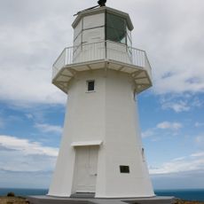
Pencarrow Head Lighthouse
27.4 km
Fort Ballance
30.9 km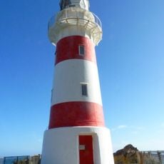
Cape Palliser Lighthouse
24.6 km
Dowse Art Museum
31.3 km
Remutaka Rail Trail
29.5 km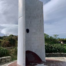
Atatürk Memorial
30.2 km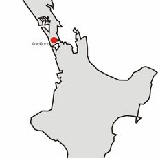
Mount Matthews
14.6 km
Ngā Rā-a-Kupe
23.2 km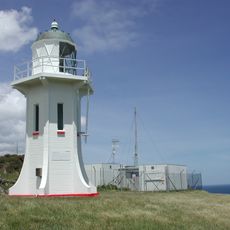
Baring Head Lighthouse
25.1 km
Steeple Rock/Te Aroaro-o-Kupe
29.2 km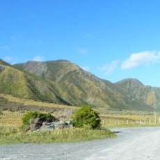
Aorangi Forest Park
16 km
Remutaka Forest Park
15.3 km
12 Fife Lane
31.1 km
East Harbour Regional Park
25.6 km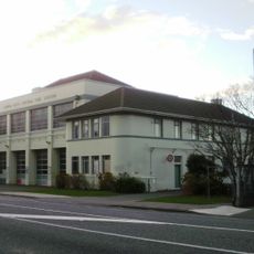
Lower Hutt Central Fire Station
30.8 km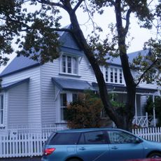
The Glebe
31 km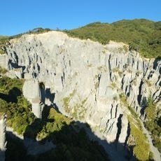
Pūtangirua Pinnacles
7.5 km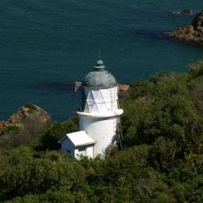
Matiu / Somes Island Lighthouse
30.6 km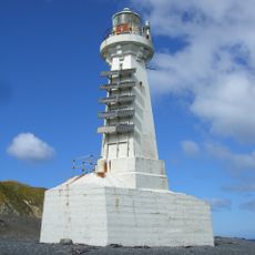
Pencarrow Sector Light
27.6 km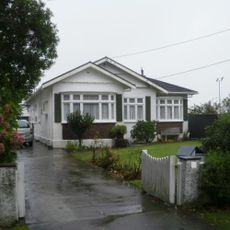
Nash House
31.3 km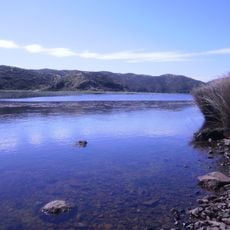
Lake Kohangatera and Lake Kohangapiripiri Scientific Reserve
25.9 km
Wainuiomata Historical Museum
23.5 km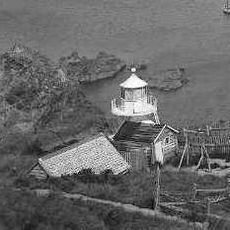
Somes Island Lighthouse
30.7 km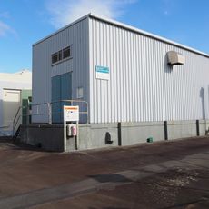
Gear Island Water Treatment Plant
30.2 km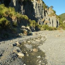
Putangirua Pinnacles Scenic Reserve
7 km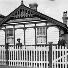
House at 2 Patrick Street, Petone
31 kmReviews
Visited this place? Tap the stars to rate it and share your experience / photos with the community! Try now! You can cancel it anytime.
Discover hidden gems everywhere you go!
From secret cafés to breathtaking viewpoints, skip the crowded tourist spots and find places that match your style. Our app makes it easy with voice search, smart filtering, route optimization, and insider tips from travelers worldwide. Download now for the complete mobile experience.

A unique approach to discovering new places❞
— Le Figaro
All the places worth exploring❞
— France Info
A tailor-made excursion in just a few clicks❞
— 20 Minutes