North Island Volcanic Plateau, Mountain range in Waikato Region, New Zealand.
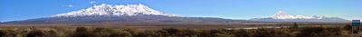
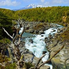
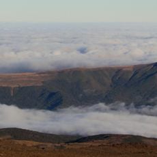
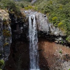
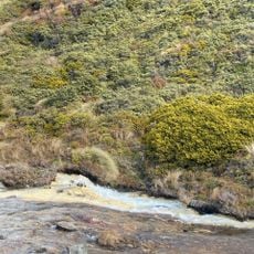
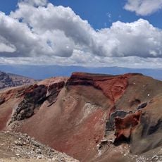
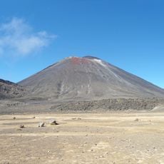
The North Island Volcanic Plateau spans roughly 125 kilometers from north to south, connecting multiple volcanic peaks, crater lakes, and broad lava fields across central New Zealand. The landscape shows clear layers of old eruptions, thermal springs, and areas of darker volcanic rock where lava once flowed.
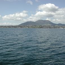
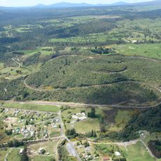
A massive eruption occurred in the year 232 that completely reshaped the landscape and created what is now the largest lake in New Zealand. This event formed the caldera complex still visible in the region's geological structure.
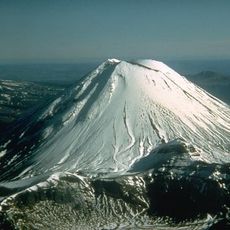
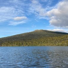
The Ngāti Tūwharetoa people maintain a strong presence here, with sacred peaks and traditional ties to the land that shape how the region is managed and experienced. Walking through this territory, you notice the respect given to these connections in how the area is cared for.
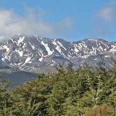
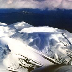
Snow falls across the higher areas between March and October, with the best conditions during July through September. Bring warm layers and sturdy footwear if you plan to explore the slopes and open areas.
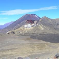
The region contains a caldera complex that remains among the most active areas for volcanic activity of this type on Earth. This ongoing activity creates changing thermal features and geological shifts that visitors can observe.
The community of curious travelers
AroundUs brings together thousands of curated places, local tips, and hidden gems, enriched daily by 60,000 contributors worldwide.