Lake Waikaremoana Great Walk, Multi-day hiking trail at Lake Waikaremoana, New Zealand.
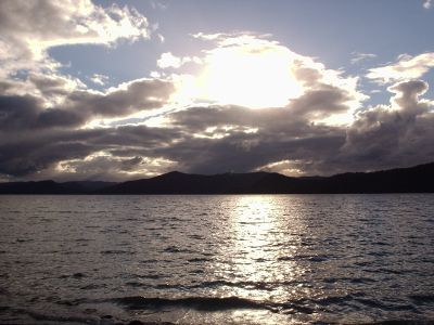
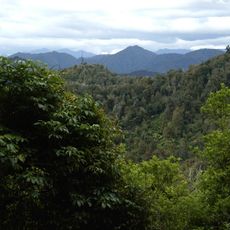
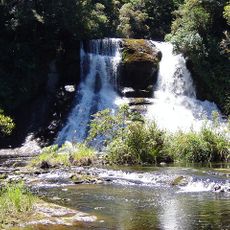
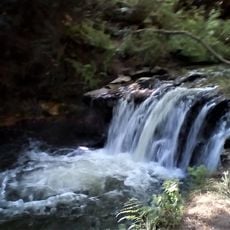
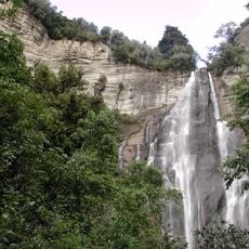
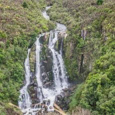
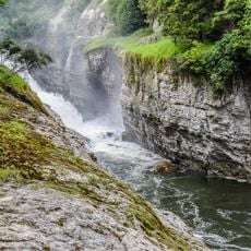
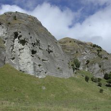
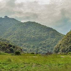
The Lake Waikaremoana Great Walk is a multi-day hiking trail in the Wairoa District on New Zealand's North Island, running along the shores of a deep mountain lake through native rainforest. The path follows the southern and western edges of the water, crossing ridges and moving through dense forest before returning to the lakeside.
Māori communities, particularly the Ngāi Tūhoe, had lived in this region for centuries before European settlers arrived in the 19th century. The walking track was developed later to give visitors access to this remote area, and the land is now managed under Te Urewera, which holds legal personhood under New Zealand law.
The trail passes through the territory of the Ngāi Tūhoe people, who have lived in this region for many generations. The place names along the route come from the Tūhoe language and carry stories tied to specific features of the land.
Huts and campsites along the route must be booked in advance, as places are limited and fill up quickly during the popular season. The warmer months generally offer drier trail conditions, though the forest keeps the path shaded and cool at any time of year.
The Te Urewera area that the trail crosses became the first landscape in the world to be granted legal personhood in 2014, under a New Zealand law. This means the land itself is treated as a legal entity, with rights of its own rather than being owned by the state or any individual.
The community of curious travelers
AroundUs brings together thousands of curated places, local tips, and hidden gems, enriched daily by 60,000 contributors worldwide.