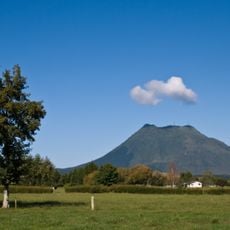
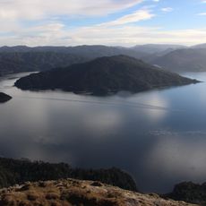
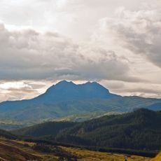
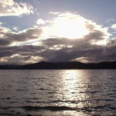
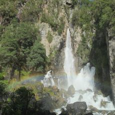
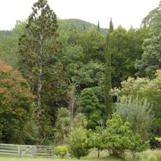
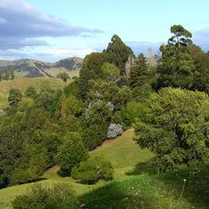
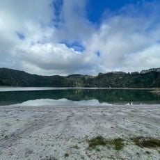
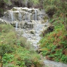
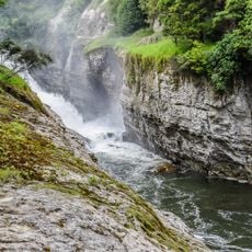
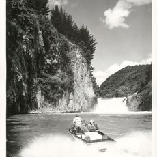
Waioweka Gorge Scenic Reserve, Scenic reserve in Ōpōtiki District, Bay of Plenty Region, New Zealand.
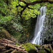
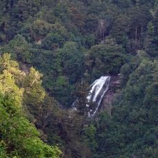
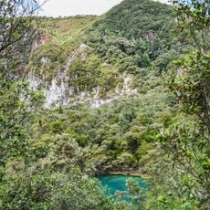
Waioweka Gorge Scenic Reserve lies in the Ōpōtiki District of the Bay of Plenty Region, on the eastern side of the Waioeka Gorge. The reserve sits at about 595 metres above sea level, with surrounding hills rising to 787 metres within a kilometre. Forest covers the slopes, and fewer than two people live per square kilometre in the area.
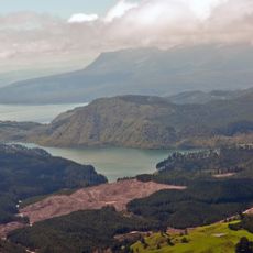
The reserve lies in the Waioeka Gorge, where the catchment around the park rises to 595 m and the surrounding hills reach 787 m within a kilometre. Forest cloaks the slopes, and the rainfall averages about 1,725 mm a year, with January temperatures near 14 °C and July near 4 °C. Fewer than two people per square kilometre live in the surrounding area.
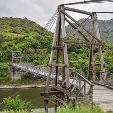
The gorge carries the name Te Awa a Tamatea, referring to the river of Tamatea, a name from Māori tradition. The reserve lies in the Ōpōtiki District of the Bay of Plenty Region, and its forest is dominated by podocarp and beech trees. The Tauranga Bridge, built in 1922, is a harp suspension bridge that walkers still cross on the track through the gorge.
The reserve lies along State Highway 2 in the Waioeka Gorge, about 400 km northeast of Wellington, and the surrounding hills rise from 595 m to 787 m within a kilometre. Only about two people live per square kilometre here, so expect few services; carry your own supplies and sturdy footwear for the forest and hilly ground.
The reserve lies about 400 km northeast of Wellington, on the slopes of the Waioeka Gorge, where the terrain rises to 595 m and the surrounding hills reach 787 m. Fewer than two people live per square kilometre here, and the slopes are covered in podocarp-broadleaf forest.
The community of curious travelers
AroundUs brings together thousands of curated places, local tips, and hidden gems, enriched daily by 93,810 contributors worldwide.