Te Urewera National Park, Former national park in Hawke's Bay Region, New Zealand
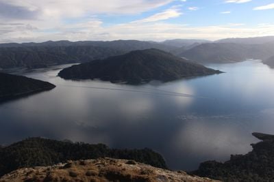
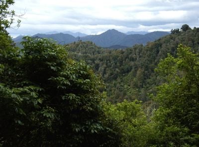
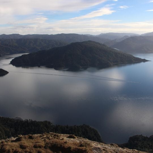
Te Urewera is a former national park in New Zealand's North Island, covering about 2,127 km² between the Bay of Plenty and Hawke's Bay regions. Its terrain is shaped by the Huiarau and Ikawhenua ranges, reaching 1,393 m at Manuhoa, with lakes such as Lake Waikaremoana and Lake Waikareiti. Dense beech, rimu, rata and tawa forest covers most of the land.
The area became a national park in 1954 and gained a groundbreaking status in 2014 when it was recognized as a natural entity with legal rights. This milestone reflected a shift in how nature itself is protected by law.
Te Urewera is the traditional home of the Tūhoe people, and its name means "burnt penis" in Māori, reflecting a local legend. The Tūhoe signed a deed of settlement with the Crown in March 2013, receiving NZ$170 million and greater control over the area.
The former park lies between the Bay of Plenty and Hawke's Bay regions, in one of New Zealand's most remote and thinly populated areas. Terrain is shaped by the Huiarau and Ikawhenua ranges, rising to Manuhoa at 1,393 m. Temperatures are generally temperate but rainfall is high, and snow falls at higher elevations in the south in winter.
A Te Urewera Board made up of Tuhoe representatives and government officials jointly manages this entity under an innovative legal model. This arrangement is rare globally and demonstrates how indigenous knowledge and government oversight can work together.
The community of curious travelers
AroundUs brings together thousands of curated places, local tips, and hidden gems, enriched daily by 93,504 contributors worldwide.