
Riverside Park, park in New South Wales, Australia; geonames ID = 8159258
Location: New South Wales
Elevation above the sea: 6 m
GPS coordinates: -33.91528,151.13472
Latest update: April 5, 2025 11:16

Belmore Sports Ground
3.7 km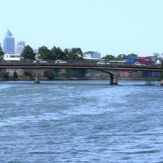
Alexandra Canal
3.2 km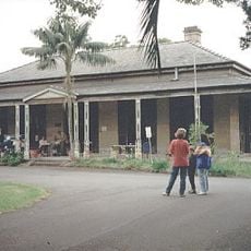
Yasmar
3.9 km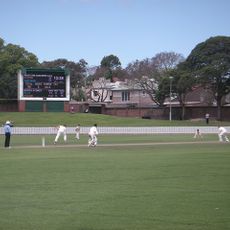
Pratten Park
2.7 km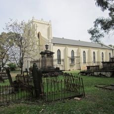
St Peters Church
3.9 km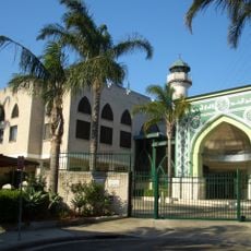
Al-Zahra Mosque
2.3 km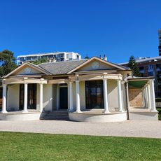
Tempe House and St Magdalenes Chapel
2.5 km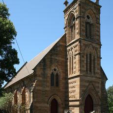
St. David's Uniting Church
3.7 km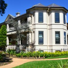
Stead House
3.3 km
Wolli Creek Regional Park
2 km
Cooks River Sewage Aqueduct
1.5 km
Petersham Reservoir
2.9 km
Ashfield Reservoir
2 km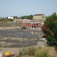
Sydenham Pit and Drainage Pumping Station 1
3.2 km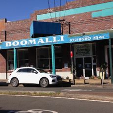
Boomalli Aboriginal Artists Cooperative
3.7 km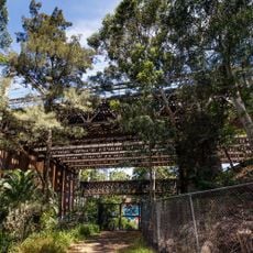
Long Cove Creek railway viaducts, Lewisham
2.7 km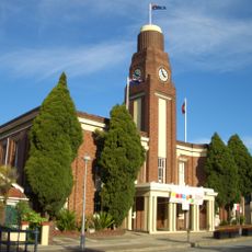
Petersham Town Hall
3.1 km
Marrickville Town Hall
2.5 km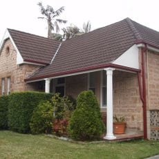
Bethungra, Canterbury
1.8 km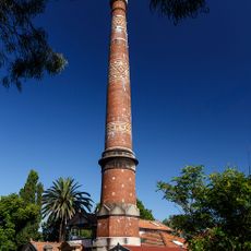
Lewisham Sewer Vent
2.6 km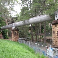
Lewisham Sewage Aqueduct
2.7 km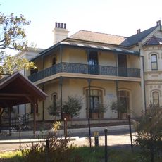
Cairnsfoot
2.1 km
Nelson Lodge
2.4 km
The Bunyas
3.5 km
St Peters Town Hall
3 km
Sewage Pumping Station 271
2.3 km
St. David's Road Depot
3.4 km
Tempe Recreation Reserve
2.9 kmReviews
Visited this place? Tap the stars to rate it and share your experience / photos with the community! Try now! You can cancel it anytime.
Discover hidden gems everywhere you go!
From secret cafés to breathtaking viewpoints, skip the crowded tourist spots and find places that match your style. Our app makes it easy with voice search, smart filtering, route optimization, and insider tips from travelers worldwide. Download now for the complete mobile experience.

A unique approach to discovering new places❞
— Le Figaro
All the places worth exploring❞
— France Info
A tailor-made excursion in just a few clicks❞
— 20 Minutes