
Community Park, park in New South Wales, Australia; geonames ID = 8675192
Location: New South Wales
Elevation above the sea: 9 m
GPS coordinates: -33.86556,151.19583
Latest update: April 6, 2025 10:39
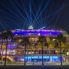
The Star
315 m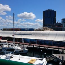
Sea Life Sydney Aquarium
713 m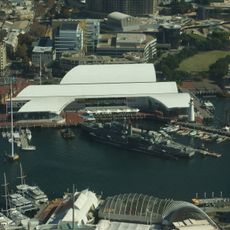
Australian National Maritime Museum
500 m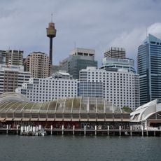
Wild Life Sydney
700 m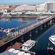
Pyrmont Bridge
761 m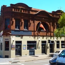
Royal George Hotel
782 m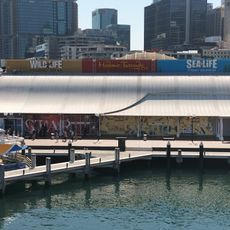
Madame Tussauds Sydney
711 m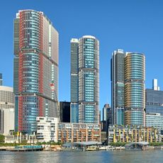
International Towers Sydney
205 m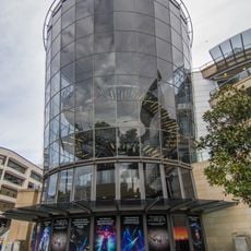
Sydney Lyric
318 m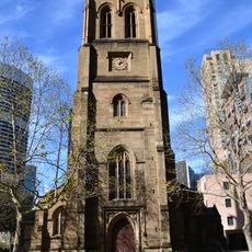
St Philip's Church, Sydney
865 m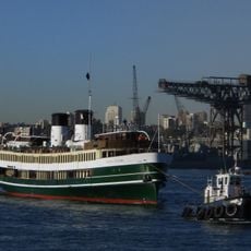
SS South Steyne
614 m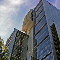
Westpac Place
768 m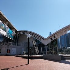
Sydney Maritime Museum
565 m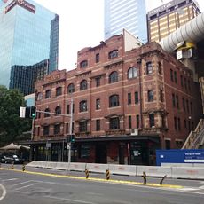
Sussex Hotel
701 m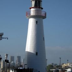
Cape Bowling Green Light
473 m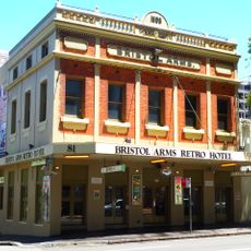
Bristol Arms Hotel
728 m
Red Cross House
872 m
Erskine Street Police Station
846 m
Pyrmont Post Office
448 m
121-127 Sussex Street, Sydney
811 m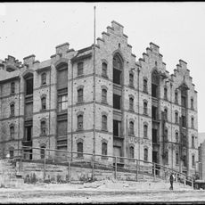
Grafton Bond Store
712 m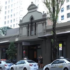
139-153 Sussex Street, Sydney
846 m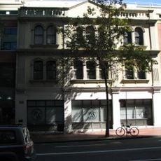
Hawken and Vance Produce Exchange
746 m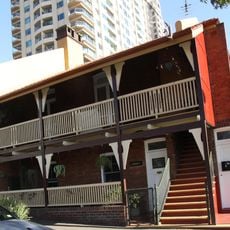
3–9 High Street, Millers Point
844 m
MSB Stores Complex
761 m
115-121 Kent Street, Millers Point
859 m
123-125 Kent Street, Millers Point
846 m
74-80 High Street, Millers Point
856 mReviews
Visited this place? Tap the stars to rate it and share your experience / photos with the community! Try now! You can cancel it anytime.
Discover hidden gems everywhere you go!
From secret cafés to breathtaking viewpoints, skip the crowded tourist spots and find places that match your style. Our app makes it easy with voice search, smart filtering, route optimization, and insider tips from travelers worldwide. Download now for the complete mobile experience.

A unique approach to discovering new places❞
— Le Figaro
All the places worth exploring❞
— France Info
A tailor-made excursion in just a few clicks❞
— 20 Minutes