Enable Location

We need your location to show you interesting places around you

Discover nearby places

Find interesting locations and hidden gems around you

Precise directions

Get accurate directions and distances to places

Your location is never shared with other users. It's only used when you tap the location button.

Paddington

Log in to your account

Start exploring — it's free

Trusted by 62,624 travelers worldwide

Continue with Google
Continue with Apple
or

We will send you a code to connect

By continuing, you accept our Terms and Conditions and our Privacy Policy

Check your inbox

We've sent a pincode in your inbox. Please enter the code below.

Paddington, Administrative division in Eastern Sydney, Australia

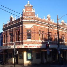
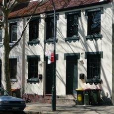
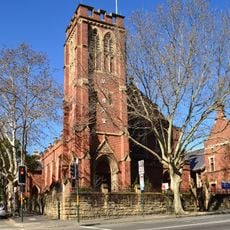
Paddington is a suburb in Eastern Sydney spanning two local government areas and divided by Oxford Street. The area is characterized by Victorian terraced houses, art galleries, and various local shops along its streets.

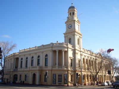
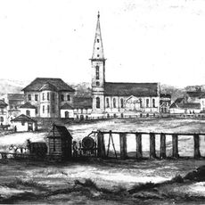
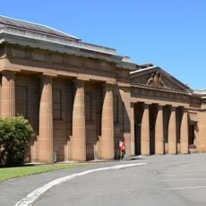
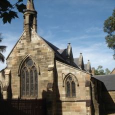
The area received its first land grants in the 1820s, leading to the establishment of Victoria Barracks. This military building shaped development and contributed to settlement growth in the following decades.

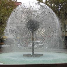
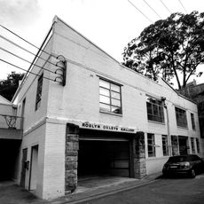
The neighborhood is known for its Victorian terraced houses and lively art scene displayed in galleries and weekly markets. The streets feature cobblestone paths and colorful facades where local artists and designers sell their work.

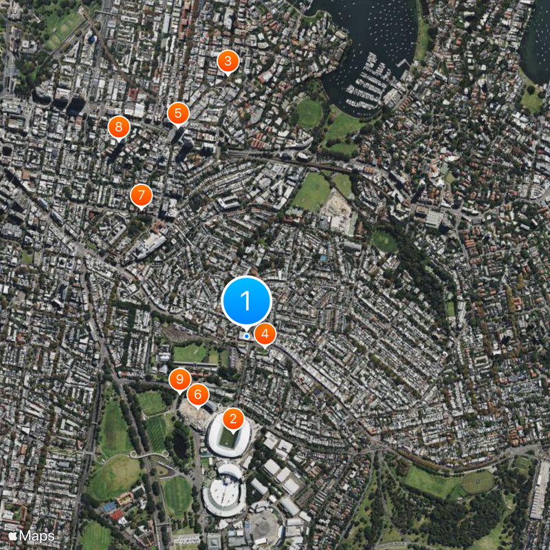
The neighborhood has good bus connections to central Sydney, while Edgecliff railway station serves the northern parts. Visitors can find various parking options along Oxford Street and can easily explore the area on foot.

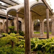
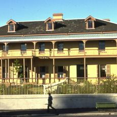
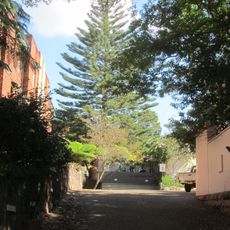
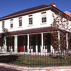
Juniper Hall, built in the 1820s, is the oldest standing building in the area and displays early architectural history. The heritage-listed house offers insights into life during early settlement and is accessible to visitors.

The community of curious travelers

AroundUs brings together thousands of curated places, local tips, and hidden gems, enriched daily by 60,000 contributors worldwide.

Start exploring
Elevation above the sea
51 m
Shares border with
Surry Hills, Woollahra, Moore Park, Centennial Park, Edgecliff, Rushcutters Bay, Darlinghurst
GPS coordinates
-33.88480,151.22600
Latest update
December 19, 2025 21:59
« Paddington - Administrative division in Eastern Sydney, Australia » is provided by Around Us (aroundus.com). Images and texts are derived from Wikimedia project under a Creative Commons license. You are allowed to copy, distribute, and modify copies of this page, under the conditions set by the license, as long as this note is clearly visible.

Discover hidden gems everywhere you go!

From secret cafés to breathtaking viewpoints, skip the crowded tourist spots and find places that match your style. Our app makes it easy with voice search, smart filtering, route optimization, and insider tips from travelers worldwide. Download now for the complete mobile experience.

Around Us App Screenshot

A unique approach to discovering new places

Le Figaro

All the places worth exploring

France Info

A tailor-made excursion in just a few clicks

20 Minutes

Around Us
Travel Guide & Maps
Download

Send to your phone

QR Code
1

Open the camera app on your mobile.

2

Point at the QR code with your camera. A notification will appear.

3

Tap the notification to open the link.