
Terrey Hills, locality in New South Wales, Australia
Location: Northern Beaches Council
GPS coordinates: -33.69182,151.22059
Latest update: June 1, 2025 15:22
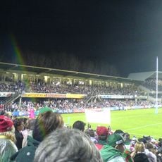
Brookvale Oval
9 km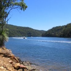
Ku-ring-gai Chase National Park
8.7 km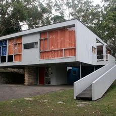
Rose Seidler House
7.5 km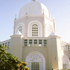
Sydney Bahá'í Temple
3.6 km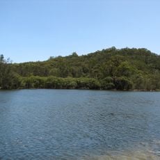
Garigal National Park
2.1 km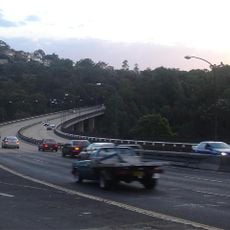
Roseville Bridge
9.2 km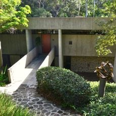
Harry and Penelope Seidler House
9.1 km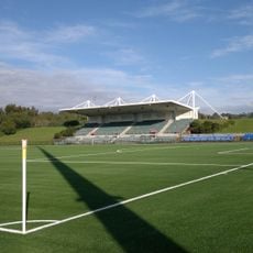
Cromer Park
8.1 km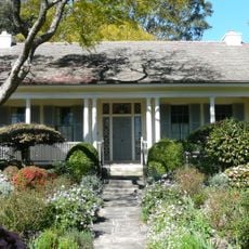
Eryldene, Gordon
9.4 km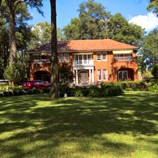
Evatt House
8.9 km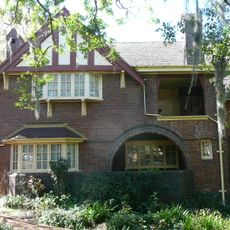
Tulkiyan
9.6 km
Warringah Civic Centre
9 km
Pymble Reservoirs No. 1 and No. 2
9.3 km
Eric Pratten House
9 km
Ingleholme
8.8 km
Berith Park
9.5 km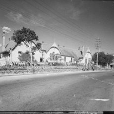
Gordon Public School
9.3 km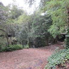
Jack House, Wahroonga
8.8 km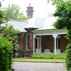
Cossington
9.1 km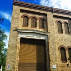
Pymble Substation
9.5 km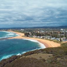
Mona Vale Beach
8.6 km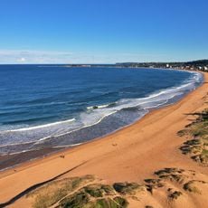
Narrabeen Beach
8 km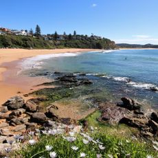
Warriewood Beach
8.2 km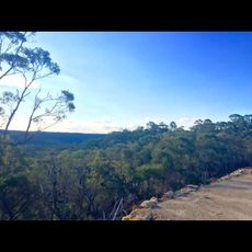
Waratah Park
4.4 km
North Narrabeen Beach
8 km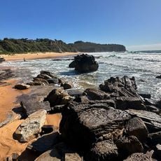
Turimetta Beach
8.3 km
Turramurra Library
9.7 km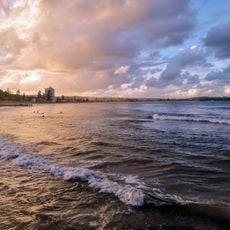
Collaroy Beach
8.7 kmReviews
Visited this place? Tap the stars to rate it and share your experience / photos with the community! Try now! You can cancel it anytime.
Discover hidden gems everywhere you go!
From secret cafés to breathtaking viewpoints, skip the crowded tourist spots and find places that match your style. Our app makes it easy with voice search, smart filtering, route optimization, and insider tips from travelers worldwide. Download now for the complete mobile experience.

A unique approach to discovering new places❞
— Le Figaro
All the places worth exploring❞
— France Info
A tailor-made excursion in just a few clicks❞
— 20 Minutes