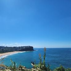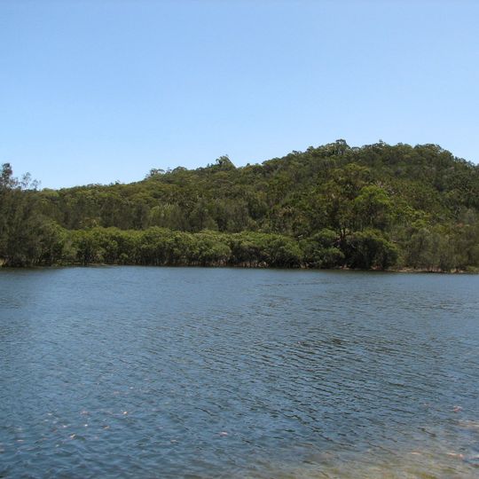
Garigal National Park, National park north of Sydney, Australia.
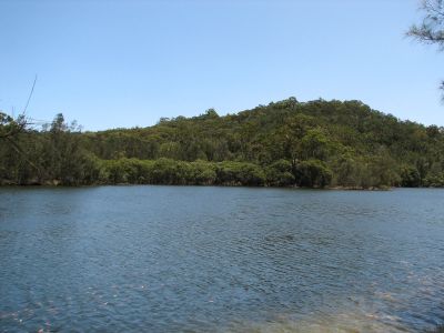
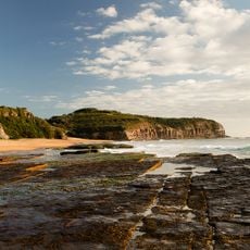
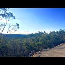
Garigal National Park is a 2,202-hectare protected area about 20 km north of Sydney's central business district, split into three sections by roads and suburbs. It covers the Middle Harbour Creek valley, the northern slopes of Middle Harbour up to Bantry Bay, and part of the Narrabeen Lakes catchment. Dry sclerophyll forest of eucalypts and sandstone gullies shelter bandicoots, koalas, wallabies, birds and snakes.
Garigal National Park protects 2,202 hectares in three separate sections: the Middle Harbour Creek valley, the northern slopes of Middle Harbour up to Bantry Bay, and part of the Narrabeen Lakes catchment. The name comes from Carigal or Caregal, a clan of the Awabakal people recorded in the area; over 100 Aboriginal sites, including shelters, cave art, rock engravings, middens and grinding grooves, have been recorded in the park.
The name Garigal derives from Carigal or Caregal, a clan of the Guringai, the Aboriginal people of this area. Over 100 Aboriginal sites have been recorded in the park, including rock shelters, cave art, rock engravings, middens, grinding grooves and a possible stone arrangement.
The park has several entry points with clearly marked trails that let you explore different sections at your own pace. Some routes are steep and challenging, while others are gentler, so you can choose according to your fitness level and time available.
Many walking trails in the park follow routes that Indigenous people used for centuries to travel through the landscape. Hikers today walk along the same pathways, creating a direct connection with the ways people moved through these valleys long ago.
The community of curious travelers
AroundUs brings together thousands of curated places, local tips, and hidden gems, enriched daily by 94,636 contributors worldwide.