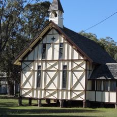
Darling Downs, Agricultural region in southern Queensland, Australia
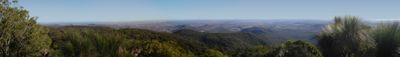
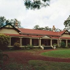
The Darling Downs is an agricultural region west of the Great Dividing Range with dark soil and rolling terrain. The area contains extensive farming land primarily used for growing grain and cotton crops.
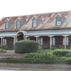
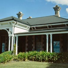
European explorer Allan Cunningham mapped the area in 1827 and named it after Governor Ralph Darling of New South Wales. European settlers arrived in the 1840s and began turning it into farmland.
The Goonneeburra people shaped how this land has been understood and used for thousands of years. Their knowledge of fire management reveals deep connections to the local environment.
The best time to visit is during the growing season when fields show different stages of crop development. Main areas are accessible by car, but maps are helpful since the landscape spreads across a large area.
The world's longest fence, the Dingo Fence, cuts through the land as a tool to protect livestock from wild predators. This massive structure reveals how farmers have adapted to local wildlife challenges.
The community of curious travelers
AroundUs brings together thousands of curated places, local tips, and hidden gems, enriched daily by 60,000 contributors worldwide.