Nymboida National Park, National park and nature reserve in Clarence Valley Council, Australia.
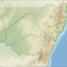
Nymboida National Park lies 485 km north of Sydney, 50 km west of Grafton and 60 km east of Glen Innes, south of the Gwydir Highway. The Mann River and its tributary the Nymboida River run through it, and the Nymboida's mouth is in the park's eastern part. Terrain averages 531 m; the Gibraltar Range and Barool national parks adjoin it.
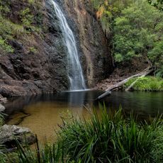
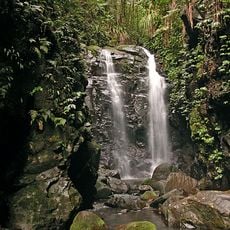
Nymboida National Park lies south of the Gwydir Highway, with the Gibraltar Range National Park adjoining to the north and Barool National Park to the west. The Mann River and its tributary, the Nymboida River, run through the park, and the Nymboida's mouth is in its eastern part. The park is reached only by unsealed roads and has no tourist facilities.
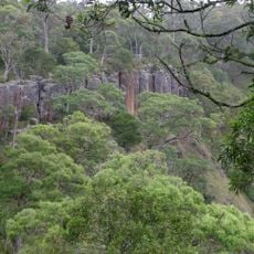
The park represents a key destination for experiencing Australian wilderness within New South Wales. Visitors come here to hike and paddle through landscapes that define this region's natural character.
The park lies south of the Gwydir Highway, about 50 km west of Grafton and 60 km east of Glen Innes. It is reached only on unsealed roads and has no tourist facilities, so bring everything you need. The Nymboida and Mann rivers are used for whitewater paddling and swimming.
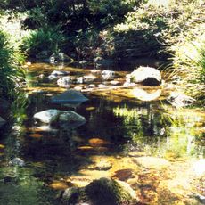
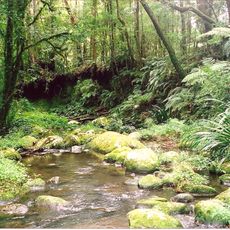
The Nymboida River meets its tributary the Mann River inside the park's eastern section, and both carry whitewater sections that paddlers run. The park has no tourist facilities, so boaters bring everything they need and reach the put-ins on unsealed roads. Swimming in the cold river water is also popular.
The community of curious travelers
AroundUs brings together thousands of curated places, local tips, and hidden gems, enriched daily by 93,426 contributors worldwide.