Somerset Regional, Administrative division in South East Queensland, Australia
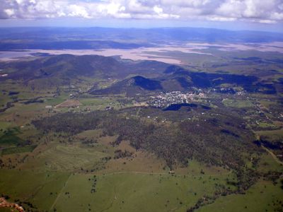
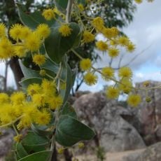
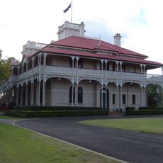
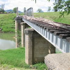
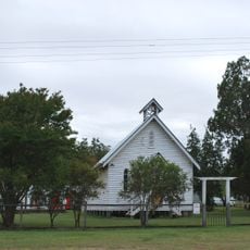
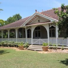
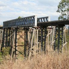
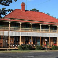
Somerset Regional is an administrative division in South East Queensland centered on Esk, encompassing the Brisbane Valley and surrounding water catchments. The area contains farmland, river systems, and major water storage facilities serving the broader region.
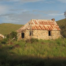
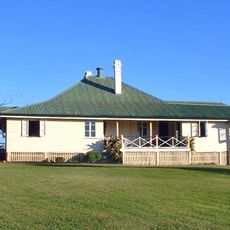
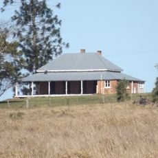
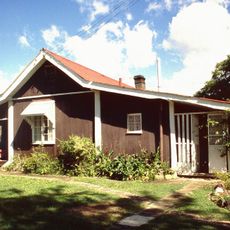
European pastoralists started settling along the Brisbane and Stanley Rivers in the 1840s, initially raising sheep on available land. This early occupation shaped the area's economic development for generations.
The land has long been home to the Jagera, Yuppera, Ugarapul, and Dungibara peoples, whose connection to country remains visible in the landscape and place names today.
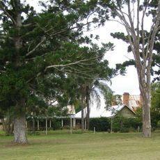
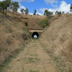
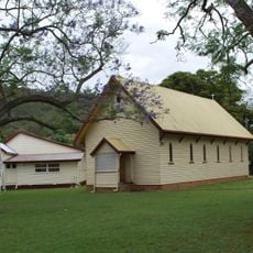
The area is best explored by car, as communities and towns are spread throughout the region with river valleys defining the landscape. Visitors should expect rural roads as primary routes between settlements.
Two major dams, Somerset and Wivenhoe, store water for millions of people across South East Queensland and form the region's critical water supply backbone. These reservoirs were built to support Brisbane's expansion and remain essential to daily supply today.
GPS coordinates: -27.01150,152.44720
Latest update: December 8, 2025 13:40
Woodford Correctional Centre
30.9 km
Mary Valley Heritage Railway
65.4 km
Conondale National Park
34.5 km
University of Queensland Gatton Campus
61.2 km
Bellevue Homestead
37.2 km
Ravensbourne National Park
45.7 km
Bellthorpe National Park
30.5 km
Crows Nest National Park
47.1 km
Woodlands, Marburg
62.5 km
Jimna Fire Tower
39.2 km
Lockyer National Park
53.7 km
Stonehouse, Moore
22.8 km
Cressbrook Homestead
6.7 km
Yimbun Railway Tunnel
7.5 km
St Agnes Anglican Church, Esk
25.6 km
Caboonbah Homestead
15.4 km
Kilcoy Homestead
15.5 km
Harlin Rail Bridge
9.2 km
Kenilworth Homestead
55.6 km
Toogoolawah War Memorial
11.2 km
Lockyer Creek Railway Bridge
64.6 km
Imbil Railway Bridge
65.6 km
Lockyer Creek Railway Bridge
66.6 km
St Andrews Presbyterian Church, Esk
25.8 km
Inverness residence, Toogoolawah
11.4 km
Lockyer Creek Railway Bridge
46.2 km
Marburg Hotel
63.5 km
St. Andrew's Anglican Church, Toogoolawah
11.2 kmVisited this place? Tap the stars to rate it and share your experience / photos with the community! Try now! You can cancel it anytime.
Discover hidden gems everywhere you go!
From secret cafés to breathtaking viewpoints, skip the crowded tourist spots and find places that match your style. Our app makes it easy with voice search, smart filtering, route optimization, and insider tips from travelers worldwide. Download now for the complete mobile experience.
A unique approach to discovering new places❞
— Le Figaro
All the places worth exploring❞
— France Info
A tailor-made excursion in just a few clicks❞
— 20 Minutes