
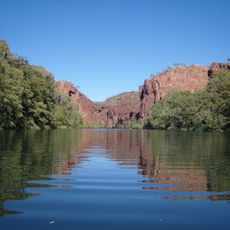
Lake Mary Kathleen, dam in Australia
Location: Queensland
Elevation above the sea: 377 m
GPS coordinates: -20.78060,139.78300
Latest update: March 17, 2025 14:28
Boodjamulla (Lawn Hill) National Park
331.3 km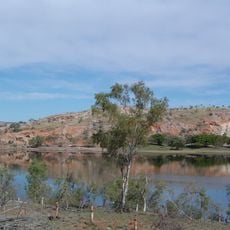
Lake Moondarra
31.3 km
Riversleigh
228.9 km
Australian Fossil Mammal Sites (Riversleigh / Naracoorte)
219.4 km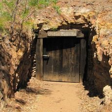
Underground Hospital, Mount Isa
30.5 km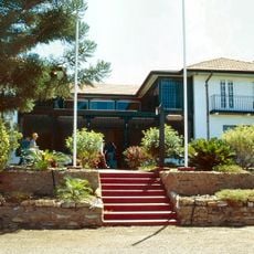
Casa Grande, Mount Isa
32.3 km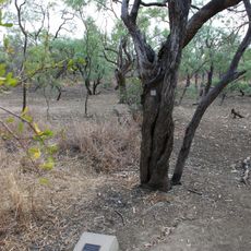
Burke and Wills Camp B/CXIX
341.4 km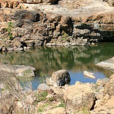
Leichhardt Falls
285.1 km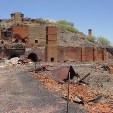
Mount Elliott Mining Complex
112.3 km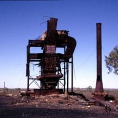
Kuridala Township site
93.5 km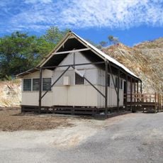
Tent House, Mount Isa
31.1 km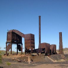
Mount Cuthbert Township and Smelter
89.7 km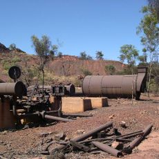
Mount Isa Mine Early Infrastructure
32.3 km
St John the Baptist Anglican Church, Richmond
349.6 km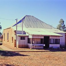
Boulia Stone House
237.8 km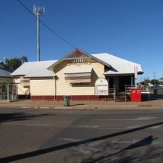
Cloncurry Post Office
75.7 km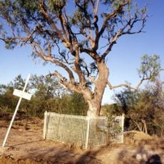
Landsborough Tree
339.4 km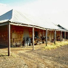
Elderslie Homestead
322.5 km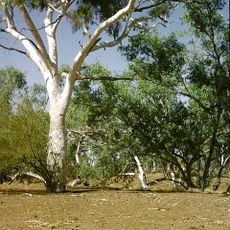
Moonah Creek Hanging Tree
120.5 km
Freckleton's Stores, Camooweal
198.3 km
Boiling Down Works, Burketown
339.4 km
Bower Bird Battery
76.6 km
Burketown Post Office
339.2 km
Community Hall
198.1 km
Mount Elliott Company Metallurgical Plant and Mill
74.9 km
Cloncurry Courthouse
75.7 km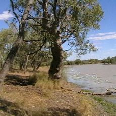
Hodgkinson's Marked Tree
203.2 km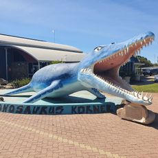
Kronosaurus Korner
349.9 kmReviews
Visited this place? Tap the stars to rate it and share your experience / photos with the community! Try now! You can cancel it anytime.
Discover hidden gems everywhere you go!
From secret cafés to breathtaking viewpoints, skip the crowded tourist spots and find places that match your style. Our app makes it easy with voice search, smart filtering, route optimization, and insider tips from travelers worldwide. Download now for the complete mobile experience.

A unique approach to discovering new places❞
— Le Figaro
All the places worth exploring❞
— France Info
A tailor-made excursion in just a few clicks❞
— 20 Minutes