
Ambitle, mountain
Elevation above the sea: 450 m
GPS coordinates: -4.06528,153.61944
Latest update: July 5, 2025 11:39
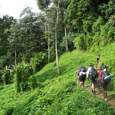
Kokoda Track
826.3 km
Ulawun
276.4 km
Tavurvur
157.7 km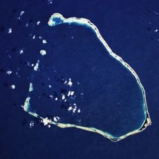
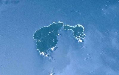
Nukumanu Islands
643.7 km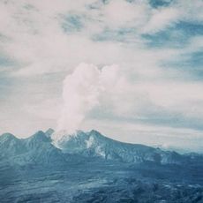
Mount Lamington
811 km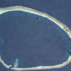
Takuu Atoll
382 km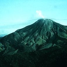
Bagana
289.3 km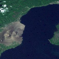
Vulcan
163.3 km
Mount Balbi
256 km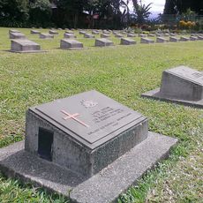
Lae War Cemetery
791.9 km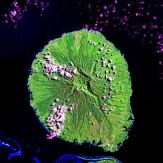
Kolombangara
578.9 km
Mount Albert Edward, Papua New Guinea
840.9 km
Loloru
351.4 km
YUS Conservation Area
782.8 km
Dakataua
404.9 km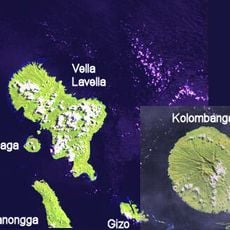
Nusatupe
574.8 km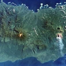
Tore
243.5 km
Garbuna Group
427 km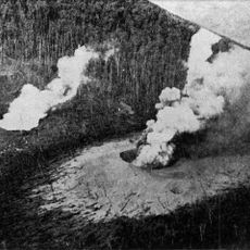
Waiowa
791.9 km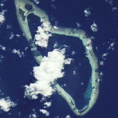
Malum Atoll
140.9 km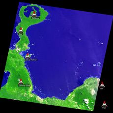
Гаруа Харбор
417.4 km
Gulewa Island
786.2 km
Nuguria Atoll
144.6 km
Budi Budi Atoll
580.9 km
Kokopo market
153.6 km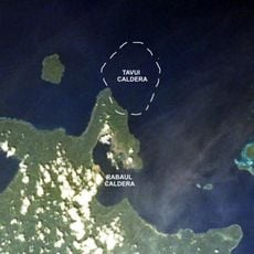
Tavui
157.7 km
St. Mary's Catholic Cathedral, Lae
791.2 km
WWII Museum
624.5 kmReviews
Visited this place? Tap the stars to rate it and share your experience / photos with the community! Try now! You can cancel it anytime.
Discover hidden gems everywhere you go!
From secret cafés to breathtaking viewpoints, skip the crowded tourist spots and find places that match your style. Our app makes it easy with voice search, smart filtering, route optimization, and insider tips from travelers worldwide. Download now for the complete mobile experience.

A unique approach to discovering new places❞
— Le Figaro
All the places worth exploring❞
— France Info
A tailor-made excursion in just a few clicks❞
— 20 Minutes