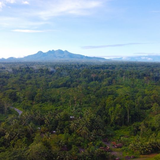
Mount Lamington, Stratovolcano in Oro Province, Papua New Guinea
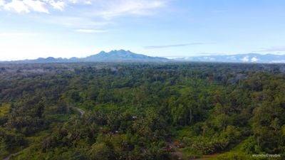
Mount Lamington is an andesitic stratovolcano in Oro Province, about 10 km south-southwest of Popondetta, rising 1,680 m above the coastal plain north of the Owen Stanley Range. Its summit complex of lava domes and crater remnants sits on a low-angle base of volcaniclastic deposits cut by radial valleys, with a broad avalanche valley running north from the breached crater.
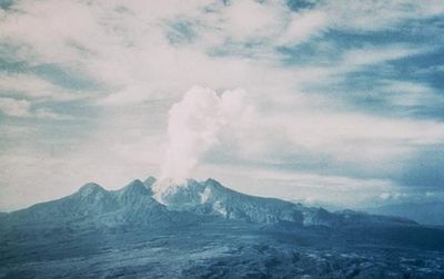
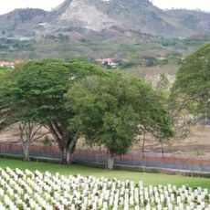
The volcano experienced a devastating eruption in 1951 that destroyed the town of Higaturu and surrounding areas. This eruption was one of the deadliest in the region and caused massive changes to the local landscape and human settlement.
The mountain's name honours Charles Cochrane-Baillie, 2nd Baron Lamington, Governor of Queensland from 1896 to 1901. Before 1951 the people living around it had no record of any eruption and took the forested peak for a dormant mountain, so the 1951 blast came without warning from a summit they had not known was volcanic.
The summit lava dome, 570 m high and 1 km³ in volume, still stands in the breached crater, and the broad avalanche valley runs north from it. Access is from Popondetta, about 10 km to the north-northeast. The volcano has been quiet since its last eruption in 1956, but the ground is steep and the forest dense.
The mountain had no recorded eruptions before 1951, so nearby residents took it for an extinct volcano. Its first historical eruption began on 18 January 1951 and blew away much of the northern side. A lava dome that appeared afterwards still sits near the summit.
The community of curious travelers
AroundUs brings together thousands of curated places, local tips, and hidden gems, enriched daily by 92,700 contributors worldwide.