Mount Wilhelm, Summit in Bismarck Range, Papua New Guinea
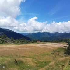
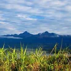
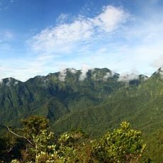
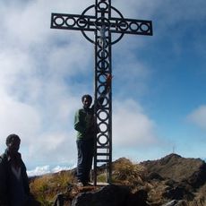
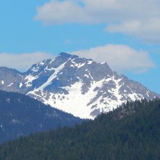
Mount Wilhelm is the highest peak in Papua New Guinea, rising to 4,509 metres in the Bismarck Range where Chimbu, Jiwaka and Madang provinces meet. Its summit is a jagged mass of fractured grey and brown rock, topped by a small pale structure with a thin vertical mast. The twin lakes Piunde and Aunde lie below the peak on the Keglsugl route, reached through mountain rainforest and alpine grassland.
In 1888 the German journalist Hugo Zöller climbed the Finisterre Range and named the Bismarck Range and its four highest peaks after Chancellor Otto von Bismarck and his children Marie, Herbert and Wilhelm; the peak called Wilhelmberg was later found to be far taller than Ottoberg. The first recorded ascent was made in August 1938 by patrol officer Leigh Vial with two New Guineans, Kugl'kane and Nigle.
Local Kuman speakers call the mountain Enduwa Kombuglu, a name rooted in regional traditions and reflecting its importance to communities below. The indigenous name shows how the peak belongs to the land and the people who have lived around it for generations.
The usual route begins at Keglsugl at the end of the road from Kundiawa, passing through mountain rainforest and an alpine valley to the twin lakes Piunde and Aunde, where two huts stand. Climbs often start at night, take nine to 24 hours round trip, and reach the peak at dawn for clearer weather; wet weather makes sections treacherous. The harder Ambullua route takes four days, and May to November is the best season.
An American reconnaissance aircraft, an F-7A, crashed into the mountain in 1944, and parts of the wreckage can still be seen today. This historical accident has turned the summit into a place where unexpected remnants of the past remain visible to climbers.
The community of curious travelers
AroundUs brings together thousands of curated places, local tips, and hidden gems, enriched daily by 92,626 contributors worldwide.