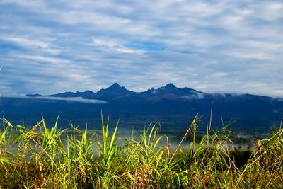
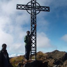
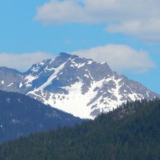
Mount Giluwe, Dormant volcano in Southern Highlands, Papua New Guinea.
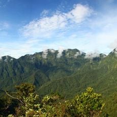
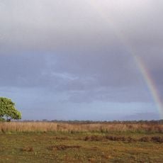
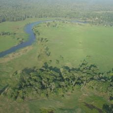
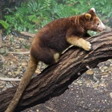
Mont Giluwe is a volcano in the Southern Highlands of Papua New Guinea with two summits rising to about 4,368 meters above sea level. The landscape transitions from dense mountain forests at lower elevations to open grasslands near the peaks.
The volcano last erupted roughly 10,000 years ago and marks an important moment in the region's geological story. Since then the landscape has evolved and shaped the surroundings we see today.
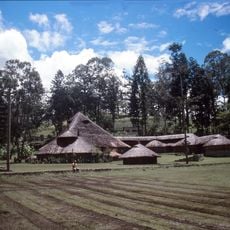
Local communities around the mountain have stories and names linked to the volcanic landscape that shape how they see and use the land today. This connection appears in the way they live and move through the area.
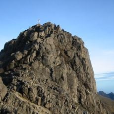
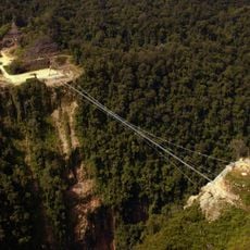
The four-day trek to the summit passes through different climate zones and requires hiring a local guide for the route. Proper preparation for altitude and suitable gear make the climb feasible for hikers with good endurance.
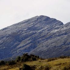
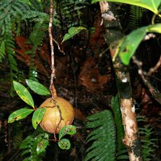
The mountain displays distinct ecological layers that shift beneath your feet as you climb, moving from one natural zone to another. This layering happens because of the elevation change and turns the trek into a journey through multiple environments.
The community of curious travelers
AroundUs brings together thousands of curated places, local tips, and hidden gems, enriched daily by 60,000 contributors worldwide.