Guadalcanal, Pacific island in Solomon Islands.
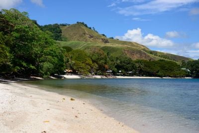
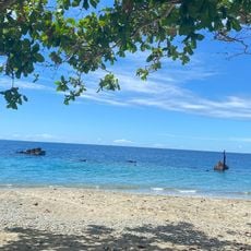
Guadalcanal is an island in Guadalcanal Province within the Solomon Islands, stretching roughly 130 kilometers from east to west. Dense tropical forest covers steep mountain slopes, while rivers rush through valleys and the northern coast is lined with mangrove belts.
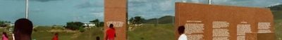
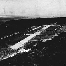
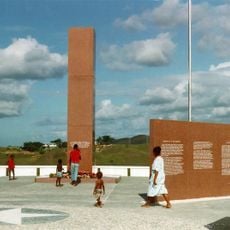
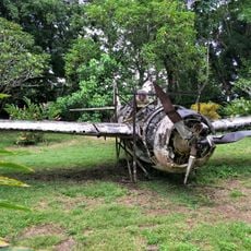
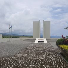
From 1942 to 1943, American and Japanese forces fought across the mountains and beaches for control of the island. This campaign became a turning point in the Pacific War and shaped many locations that still show traces of the fighting today.
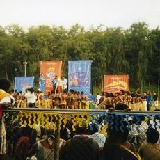
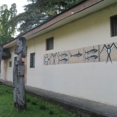
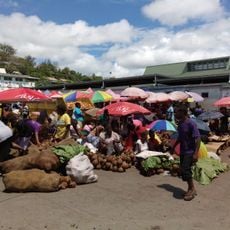
The local people call their island Isatabu, a name that preserves centuries of heritage and remains in everyday use. Traditional village communities along the coasts and inland continue to follow customs passed down through generations.
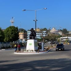
Honiara on the northern coast provides the main transport connections and most accommodation options on the island. Travel into the mountainous interior requires planning, as roads are often unpaved and weather conditions can affect accessibility.
Mount Popomanaseu rises above 2,300 meters, making it the highest point across all the Solomon Islands. The climb through dense rainforest leads through mist zones where temperatures are noticeably cooler than on the coasts.
The community of curious travelers
AroundUs brings together thousands of curated places, local tips, and hidden gems, enriched daily by 60,000 contributors worldwide.