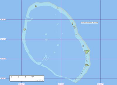
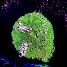
Carteret Islands, Island group in Autonomous Region of Bougainville, Papua New Guinea.
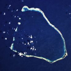
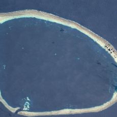
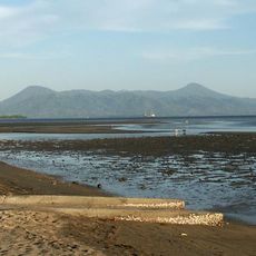
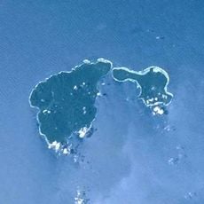
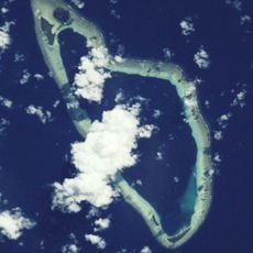
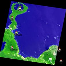
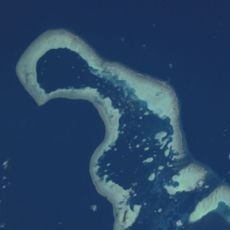
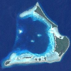
The Carteret Islands form a horseshoe-shaped atoll consisting of five main islands: Han, Jangain, Yesila, Yolasa, and Piul. The entire land area sits just barely above sea level, covering only a small geographic expanse.
British navigator Philip Carteret discovered these islands in 1767 while sailing around the world aboard HMS Swallow. The group retains his name as a legacy of 18th-century European exploration in the Pacific.
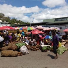
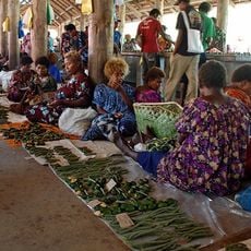
The residents live closely connected to the sea, relying on traditional fishing methods and growing taro and coconuts as staples. These practices shape daily life and remain central to how people sustain themselves.
The islands are extremely flat and prone to flooding, so check weather and tidal conditions before visiting. Visitors should expect limited infrastructure and the small-scale nature of island communities.
Rising sea levels have prompted repeated relocation programs since the 1980s for the thousand residents living on these low-lying Pacific islands. These shifts have reshaped community ties and the traditional way of life.
The community of curious travelers
AroundUs brings together thousands of curated places, local tips, and hidden gems, enriched daily by 60,000 contributors worldwide.