Autonomous Region of Bougainville, Autonomous region in eastern Papua New Guinea
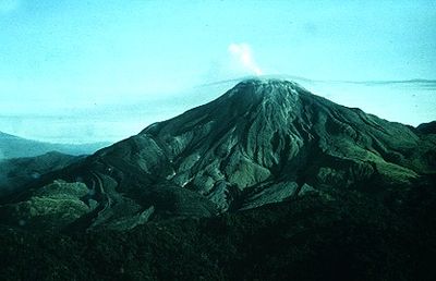
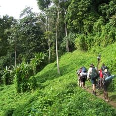
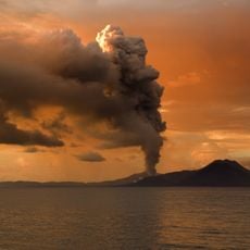
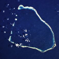
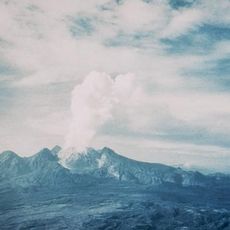
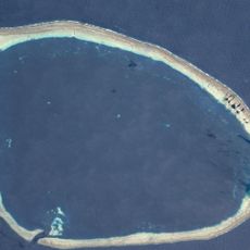
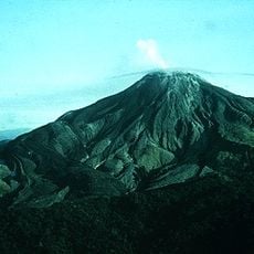
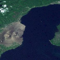
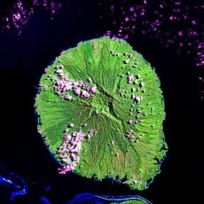
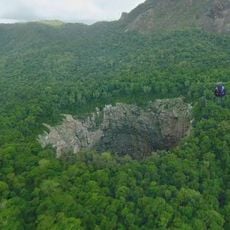
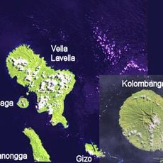
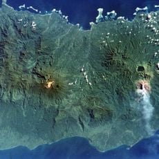
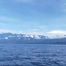
The Autonomous Region of Bougainville is a self-governing territory in eastern Papua New Guinea and extends across Bougainville, Buka and several smaller islands in the Solomon Sea. The landmass covers about 9,300 square kilometers (3,600 square miles) with mountainous coasts, tropical forests and scattered settlements connected by coastal roads and boat routes.
After a decade-long civil war between 1988 and 1998, the territory gained its self-government through a peace agreement signed in 2000. This arrangement aimed to end the conflict over land rights and resource control and created a framework for local government structures.
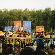
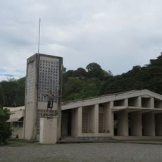
Residents use the upe headdress as a traditional symbol that also appears on the regional flag and expresses the cultural identity of the islands. Catholic life shapes daily routines with 33 parishes spread across the different islands that organize religious celebrations.
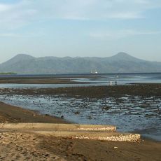
Buka serves as the administrative seat and offers access to regional offices, health services and basic facilities for visitors who wish to handle administrative matters. Travel between the islands occurs mainly by small ferries and boats, as road connections are limited and focus on coastal areas.
A 2019 referendum showed that more than 98 percent of voters chose full independence and thus achieved one of the highest approval rates in such a vote worldwide. This decision marks an important step toward possible statehood, although its legal implementation is still pending.
The community of curious travelers
AroundUs brings together thousands of curated places, local tips, and hidden gems, enriched daily by 60,000 contributors worldwide.