Bogoslof Island, Volcanic islet in Unorganized Borough, United States.
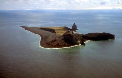
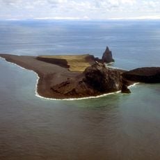
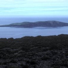
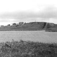
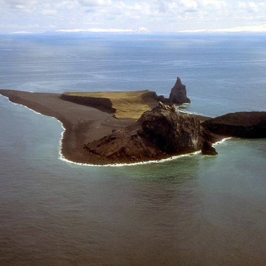
Bogoslof Island is the summit of a submarine stratovolcano at the south edge of the Bering Sea, 35 miles northwest of Unalaska Island. It measures 1,040 m long and 1,512 m wide, with a peak of 150 m. A dark brown rocky mound rises at its centre, a flat sandy spit of black and brown material extends to the left, a grass-covered plateau lies behind, and a tall pointed rock spire, Castle Rock, stands on the right.
The island emerged from the ocean in the late 1700s and has been significantly altered by multiple volcanic eruptions ever since. These eruptions have continuously reshaped the island's form and size over time.
President Theodore Roosevelt established the land as a sanctuary for marine birds and sea lions in 1909, marking its importance for wildlife preservation.
Bogoslof Island is uninhabited and lies within the Alaska Maritime National Wildlife Refuge, so landing requires refuge permission and is normally limited to research visits. There are no docks, trails or shelter, and the island's shape shifts with eruptions; the 2016–2017 activity split it into several pieces before they merged again. Approach by boat only in settled weather, as the area is often overcast.
An eruption between 2016 and 2017 fragmented the island into separate masses that later rejoined together. This unusual event demonstrates the extreme geological activity at this location.
The community of curious travelers
AroundUs brings together thousands of curated places, local tips, and hidden gems, enriched daily by 94,788 contributors worldwide.