Bogoslof Wilderness, Volcanic wilderness area in Aleutian Islands, Alaska.
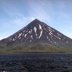
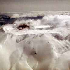
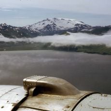
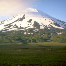
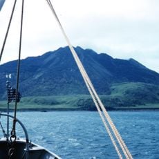
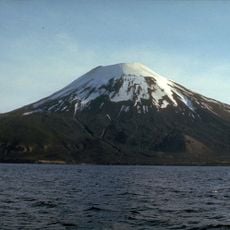
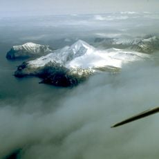
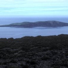
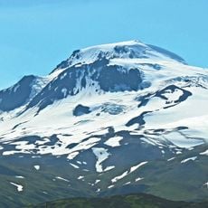
Bogoslof Island is the summit of a submarine stratovolcano at the south edge of the Bering Sea, 35 miles northwest of Unalaska Island. The island is 1,040 meters long and 1,512 meters wide, with a peak elevation of 150 meters. The volcano rises about 1,800 meters from the seabed, but only the summit projects above sea level. Castle Rock is a separate dome on the southwest side that erupted in 1796.
The island formed following an underwater volcanic eruption in 1796 and experienced several periods of volcanic activity through the 19th and 20th centuries. President Theodore Roosevelt designated it as a protected refuge in 1909 to safeguard the region's marine wildlife.
In 1909, President Theodore Roosevelt established the area as a sanctuary for marine wildlife, recognizing its importance for seabird and marine mammal populations.
Visiting requires special permits from refuge officials, and there are no suitable anchorage points available. Strong winds and severe ocean storms occur regularly, so prepare for harsh and unpredictable weather conditions year-round.
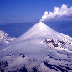
The 2016–2017 eruptions split Bogoslof into as many as three islands before it merged again, growing from 71.2 acres to about 319 acres by May 2017. Ash plumes reached 34,000–35,000 feet, raising the aviation color code to red. No cameras or monitoring stations stood on the island, so early details came from satellites and infrasound.
The community of curious travelers
AroundUs brings together thousands of curated places, local tips, and hidden gems, enriched daily by 92,634 contributors worldwide.