Fisher Caldera, Volcanic caldera on Unimak Island, Alaska, US
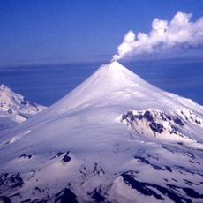
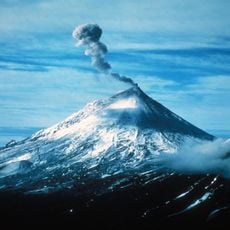
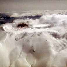
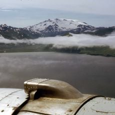
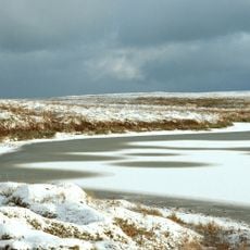
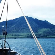
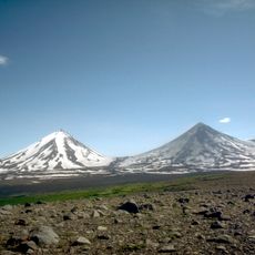
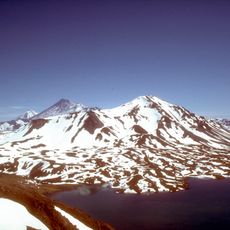
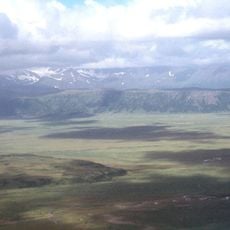
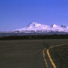
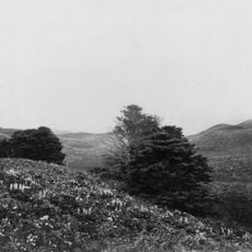
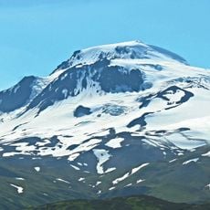
Fisher Caldera is an oval volcanic depression on Unimak Island, Alaska, measuring about 11 by 18 km. It holds three crater lakes, one 3.2 km wide and two 2.4 km wide, and small peaks rising 600 and 619 m above the floor. The caldera lies 21 km from Mount Westdahl.
Fisher Caldera formed about 9,100 years ago when an andesitic stratovolcano collapsed in a destructive eruption. The same event, dated to 8700 BCE, is described as the largest volcanic eruption on Earth during the Holocene Epoch. The caldera measures roughly 11 by 18 km and lies 21 km from Mount Westdahl.
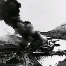
The caldera is named after Bernard Fisher, a geologist who vanished in 1946 near Ship Rock in the Aleutians. The name is not Aleut: Unimak Island lies within the Aleutian Islands Biosphere Reserve, and the volcano is also called Mount Fisher and Fisher Volcano.
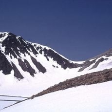
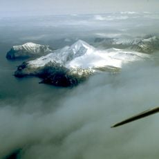
Fisher Caldera sits in the Tugamak Range on Unimak Island, with no road access and no settlements nearby; the island is reached only by air or boat, and the caldera itself is approached on foot or by air. The climate is boreal, averaging about −1 °C, with July the mildest month at roughly 8 °C and January the coldest at about −8 °C. Snow and cloud cover the ground much of the year, so plan around weather windows.
The caldera's 8700 BCE eruption is considered the largest on Earth during the Holocene, the last 11,700 years. Its floor also holds three crater lakes, one about 2 miles (3.2 km) wide and two roughly 1.5 miles (2.4 km) wide, plus small peaks rising 2,000 and 2,031 feet.
The community of curious travelers
AroundUs brings together thousands of curated places, local tips, and hidden gems, enriched daily by 94,141 contributors worldwide.