Mount Carlisle, Stratovolcano in Aleutian Islands, US
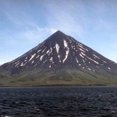
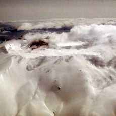
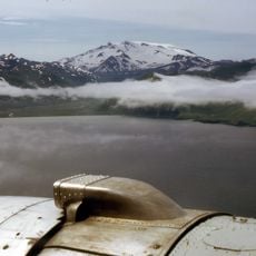
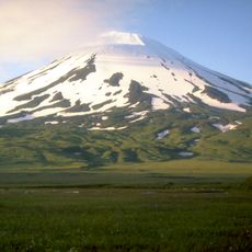
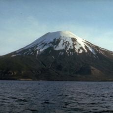
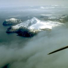
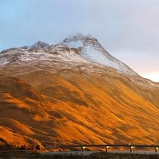
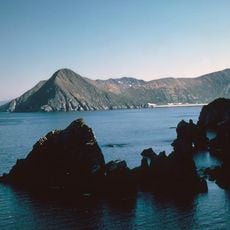
Mount Carlisle is a stratovolcano that forms the 5-mile-wide Carlisle Island, part of the Islands of Four Mountains in the central Aleutian Islands, Alaska. Its summit reaches 1,620 m, and a small glacier lies high on the western slopes just below the rim of the summit crater. The island measures 4.3 miles across and sits 1.9 miles across Carlisle Pass from Chuginadak Island.
The volcano was named in 1894 by the United States Navy Hydrography Office to honor John G. Carlisle, a government official who held the office of Secretary of the Treasury. This naming reflects a period when Western institutions systematically documented and labeled remote Arctic and subarctic territories.
The island's Aleut name, Kigalĝa, is recorded for Carlisle Island, a reminder that the Aleutian chain was named and used by Aleut (Unangax) people long before Russian and American mapping. The volcano sits within the traditional Aleut homeland, and its Aleut name is the main cultural trace documented for the island itself.
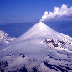
Mount Carlisle rises from Carlisle Island, 3.1 km across Carlisle Pass from Chuginadak Island and 9 km northeast of Herbert Island; the island itself measures 6.9 km across. There is no airfield or pier, so access depends on a boat landing or helicopter drop-off arranged in advance. Ash plumes seen from a distance cannot be reliably attributed to this volcano, so check conditions before approaching the western slopes.
Carlisle Island, which the volcano forms, is only 4.3 miles (6.9 km) across, and the summit stands 1,620 m high. The glacier sits just below the western crater rim, and the island lies 1.9 miles (3.1 km) across Carlisle Pass from Chuginadak Island.
The community of curious travelers
AroundUs brings together thousands of curated places, local tips, and hidden gems, enriched daily by 92,619 contributors worldwide.