Mount Douglas, stratovolcano in Katmai National Park, Alaska, US
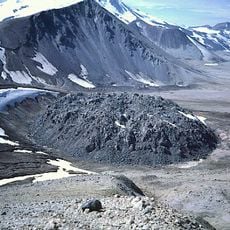
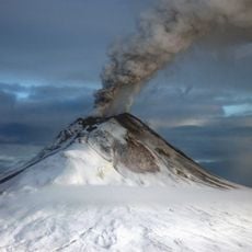
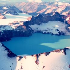
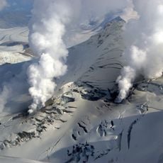
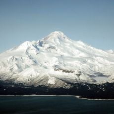
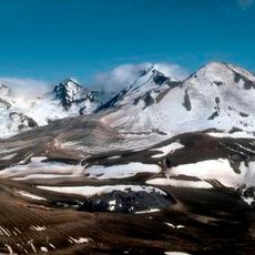
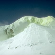
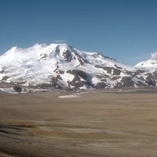
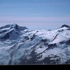
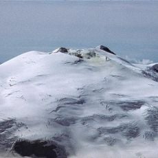
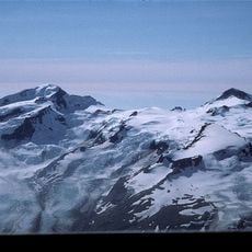
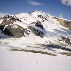
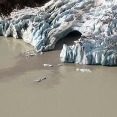
Mount Douglas is a stratovolcano rising 2,150 m south of Kamishak Bay, near the northeastern end of the Alaska Peninsula, in Katmai National Park and Preserve. Its summit holds a crater lake about 160 m wide, with active steam vents on the peak and glaciers on the slopes around it. Unglaciated, relatively uneroded lava flows lie on the north flank.
Mount Douglas was officially named in 1906 by the U.S. Geological Survey, drawing on a 1904 report by geologist G. C. Martin. The name comes from nearby Cape Douglas. The first recorded ascent of the summit was made in 1981 by Dan Barnes, H. Erik Barnes, Charles Ridgen and Jon Thomas.
The name comes from nearby Cape Douglas, applied by the USGS in 1906 on the basis of G. C. Martin's 1904 report. The summit was first climbed in 1981 by Dan Barnes, H. Erik Barnes, Charles Ridgen and Jon Thomas. Steam vents remain active at the top, and the Alaska Volcano Observatory currently assigns Douglas no color code.
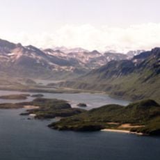
Mount Douglas lies in Katmai National Park and Preserve in Kenai Peninsula Borough, south of Kamishak Bay near the northeastern end of the Alaska Peninsula. There are no roads or trails to the summit; the first ascent, in 1981, was made by Dan Barnes, H. Erik Barnes, Charles Ridgen and Jon Thomas. Approach by air and plan for the summit crater lake's hot, acidic water and active steam vents.
The summit lake measured 21 °C with a pH of 1 in 1982, and water temperatures of 114–118 °C were recorded in 1991. Steam vents are active at the summit, and unglaciated lava flows lie on the north flank. The first ascent was made in 1981 by Dan Barnes, H. Erik Barnes, Charles Ridgen and Jon Thomas.
The community of curious travelers
AroundUs brings together thousands of curated places, local tips, and hidden gems, enriched daily by 93,484 contributors worldwide.