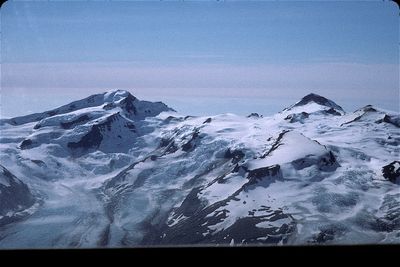
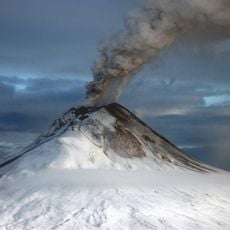
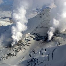
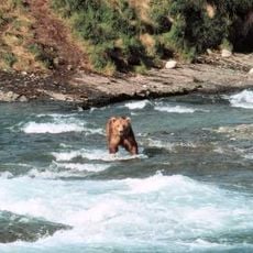
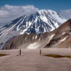
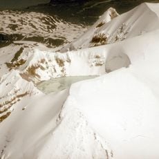
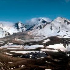
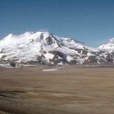
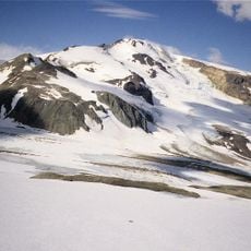
Mount Steller, Stratovolcano in Katmai National Park, Alaska.
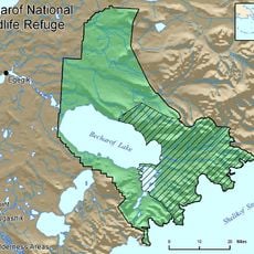
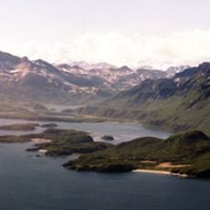
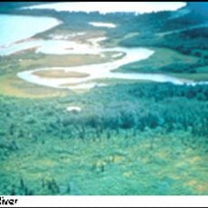
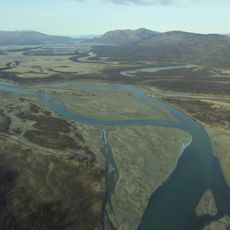
Mount Steller is a stratovolcano in Alaska's Katmai volcanic chain, rising to about 2,300 meters and sitting between Mount Denition and Kukak. Its position in this northeast-southwest trending line of peaks shows the geological activity that shaped this part of Alaska.
The volcano was named in 1928 by the United States Geological Survey after Georg Wilhelm Steller, an 18th-century naturalist who explored Alaska during Vitus Bering's 1741 expedition. This naming reflects the scientific exploration of Alaska that began during these early journeys.
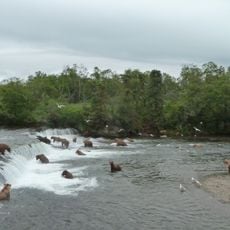
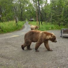
The volcano sits within ancestral lands of the Tlingit and Haida peoples, who have long held deep connections to this volcanic landscape through their traditions and way of life. This indigenous presence remains woven into how the park is managed and understood today.
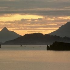
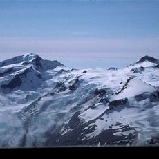
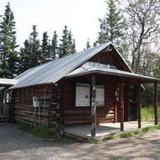
The area is reachable only by boat or aircraft since no roads lead to this remote volcano and the nearest settlements are far away. The best time to visit is during the warmer months when weather conditions are more stable and water and air transport connections work more reliably.
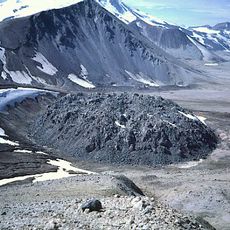
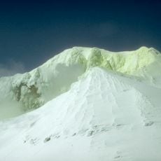
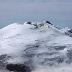
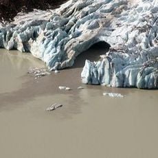
The exact number and location of volcanic vents around Mount Steller remain unclear due to thick glaciers covering the mountain and its surroundings. Scientists cannot fully map these features, making this peak hold more geological mysteries than its appearance first suggests.
The community of curious travelers
AroundUs brings together thousands of curated places, local tips, and hidden gems, enriched daily by 60,000 contributors worldwide.