Seward Highway, state highway in Alaska, United States
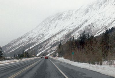
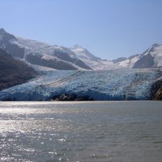
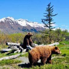
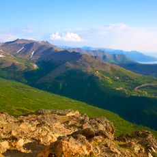
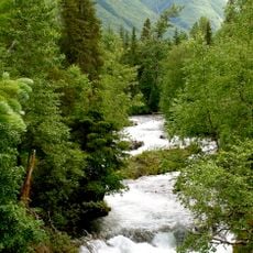
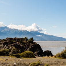
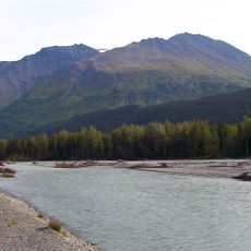
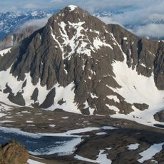
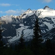
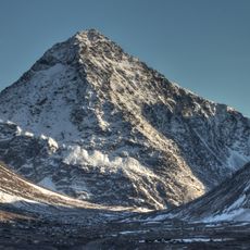
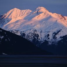
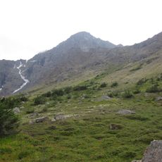
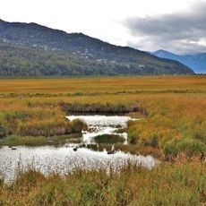
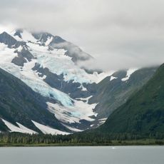
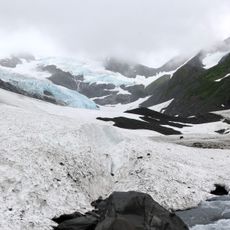
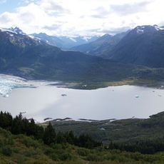
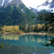
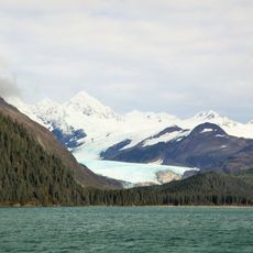
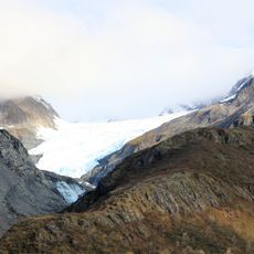
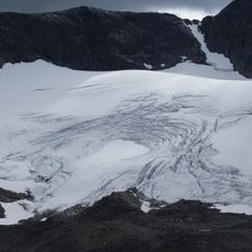
Seward Highway is a roughly 127-mile road connecting Anchorage to Seward, a coastal town to the south, designated as a National Forest Scenic Byway that runs through the Chugach Mountains alongside Turnagain Arm. The route crosses forests, passes glaciers, lakes, and peaks, with numerous viewpoints and turnoffs leading to hiking trails, the Alaska Wildlife Conservation Center, and other outdoor attractions.
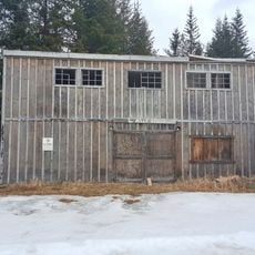
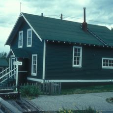
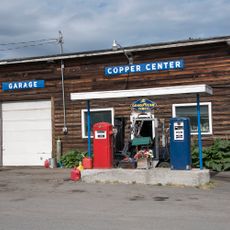
The highway developed in the early 1900s when local people built durable roads to connect settlements and mining operations that served gold prospectors in the region. These original roads made of logs and gravel were gradually improved and expanded into the modern paved route travelers use today.
The highway takes its name from Seward, the coastal town at its southern end, and connects two major Alaska communities. The route passes through areas shaped by gold rush history, visible in old buildings scattered through Hope and other small settlements where visitors can experience these traces firsthand.
The route is fully paved with wide shoulders and multiple passing lanes, making driving straightforward; visitors can rent a car or travel between Anchorage and Seward by bus or train. Numerous pullouts, viewpoints, and parking areas are available along the way, particularly at Beluga Point, Windy Corner, Bird Point, and the Alaska Wildlife Conservation Center, where travelers can stop to enjoy views or explore activities.
Turnagain Arm experiences extreme tidal swings that create bore tides, waves up to 6 feet high that surge inland with particular power during the equinoxes. Some adventurers use these rare tidal waves for surfing and kayaking, an uncommon activity found in only a handful of places worldwide.
The community of curious travelers
AroundUs brings together thousands of curated places, local tips, and hidden gems, enriched daily by 60,000 contributors worldwide.