Denali Highway

Log in to your account

AroundUs is a community-driven map of interesting places, built by curious explorers like you. It grows with every review, story, and photo you share.
Connect to save your favorite spots, contribute locations, and create personalized routes.
By continuing, you accept our Terms and Conditions and our Privacy Policy
Add to collection
Map
Suggest a change
Share

Denali Highway, Historic travel route in Alaska, United States.
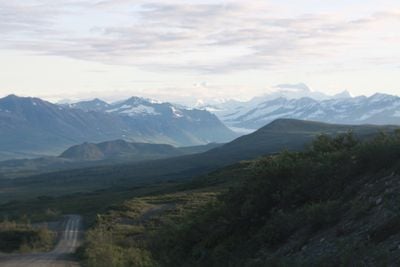
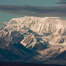
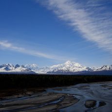
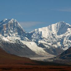
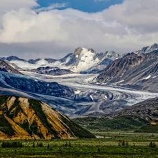
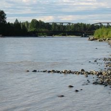
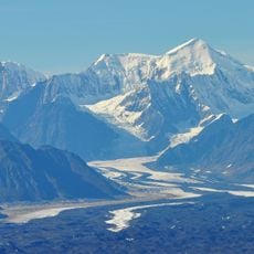
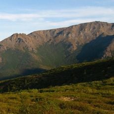
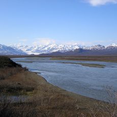
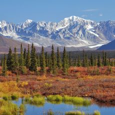
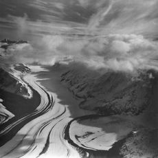
The Denali Highway stretches 135 miles between Paxson and Cantwell, combining paved sections with gravel roads through mountain landscapes.

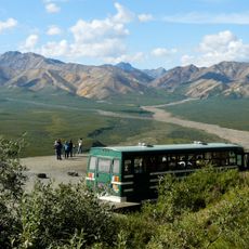
From 1957 to 1972, this route served as the main access to Denali National Park before the Parks Highway construction.

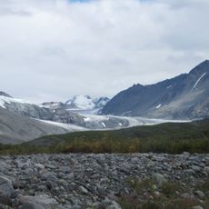
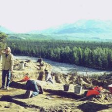
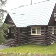
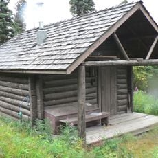
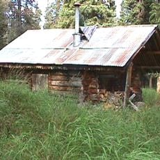
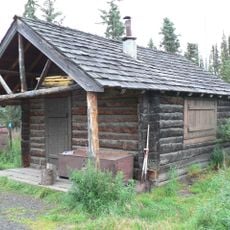
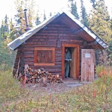
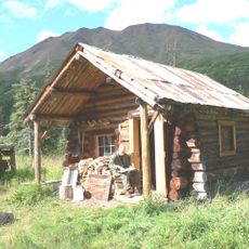
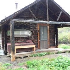
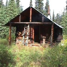
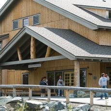
The Tangle Lakes Archaeological District near mile marker 16 contains over 500 sites documenting human activities spanning 10,000 years.

The road remains closed from October through mid-May, and most rental car companies restrict vehicle use on this highway.

Four lodges positioned along the route provide services: Tangle River Inn, Maclaren River Lodge, Alpine Creek Lodge, and Clearwater Mountain Lodge.

Location: Alaska

GPS coordinates: 63.10501,-147.51463

Latest update: March 7, 2025 15:24

Natural wonders in remote Alaska locations

Alaska presents natural sites in remote areas distant from urban centers. These locations display the geological diversity of the state: glaciers, volcanoes, dunes, hot springs and waterfalls. Visitors discover historical mining sites, indigenous cultural locations and museums. The region enables encounters with brown bears, whales and other wildlife in their natural habitat.

Around this place
Show the full map
Magic Bus
United States of America

Magic Bus

112.7 km
Mount Hayes
United States of America

Mount Hayes

69.8 km
Denali State Park
United States of America

Denali State Park

131.8 km
Mount Deborah
United States of America

Mount Deborah

60.9 km
Castner Glacier
United States of America

Castner Glacier

100.7 km
Mount McKinley National Park Headquarters District
United States of America

Mount McKinley National Park Headquarters District

99.6 km
Gulkana Glacier
United States of America

Gulkana Glacier

103.9 km
Dry Creek Archeological Site
United States of America

Dry Creek Archeological Site

116.5 km
Talkeetna River
United States of America

Talkeetna River

115.4 km
Cantwell Glacier
United States of America

Cantwell Glacier

103.8 km
Susitna River Bridge
United States of America

Susitna River Bridge

116.6 km
Susitna Glacier
United States of America

Susitna Glacier

65.5 km
Eldridge Glacier
United States of America

Eldridge Glacier

131.9 km
Igloo Creek Cabin No. 25
United States of America

Igloo Creek Cabin No. 25

117.5 km
Riley Creek Ranger Cabin No. 20
United States of America

Riley Creek Ranger Cabin No. 20

89.4 km
Mount Margaret
United States of America

Mount Margaret

116.9 km
Sanctuary River Cabin No. 31
United States of America

Sanctuary River Cabin No. 31

119.4 km
Ewe Creek Ranger Cabin No. 8
United States of America

Ewe Creek Ranger Cabin No. 8

119.5 km
Upper Windy Creek Ranger Cabin No. 7
United States of America

Upper Windy Creek Ranger Cabin No. 7

84.2 km
Upper East Fork Cabin No. 29
United States of America

Upper East Fork Cabin No. 29

123.9 km
Lower Windy Creek Ranger Cabin No. 15
United States of America

Lower Windy Creek Ranger Cabin No. 15

76.9 km
Maclaren River
United States of America

Maclaren River

44.1 km
Canwell Glacier
United States of America

Canwell Glacier

106.4 km
Nenana Glacier
United States of America

Nenana Glacier

48.7 km
Yanert Glacier
United States of America

Yanert Glacier

56.2 km
Denali Visitor Center
United States of America

Denali Visitor Center

98.7 km
Riley Creek Campground
United States of America

Riley Creek Campground

98 km
Polychrome Overlook
United States of America

Polychrome Overlook

125.2 km
Show the full map

Reviews

Visited this place? Tap the stars to rate it and share your experience / photos with the community! Try now! You can cancel it anytime.

« Denali Highway: Historic travel route in Alaska, United States » is provided by Around Us (aroundus.com). Images and texts are derived from Wikimedia project under a Creative Commons license. You are allowed to copy, distribute, and modify copies of this page, under the conditions set by the license, as long as this note is clearly visible.

Discover hidden gems everywhere you go!

From secret cafés to breathtaking viewpoints, skip the crowded tourist spots and find places that match your style. Our app makes it easy with voice search, smart filtering, route optimization, and insider tips from travelers worldwide. Download now for the complete mobile experience.

Around Us App Screenshot

A unique approach to discovering new places

Le Figaro

All the places worth exploring

France Info

A tailor-made excursion in just a few clicks

20 Minutes