
Black Rapids
Location: Southeast Fairbanks Census Area
GPS coordinates: 63.53111,-145.86000
Latest update: April 26, 2025 18:53
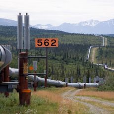
Trans-Alaska Pipeline System
69.7 km
Magic Bus
160 km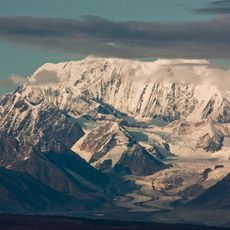
Mount Hayes
43.6 km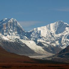
Mount Deborah
69.2 km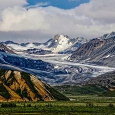
Castner Glacier
17.2 km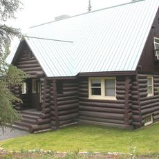
Mount McKinley National Park Headquarters District
154.9 km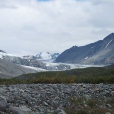
Gulkana Glacier
37.8 km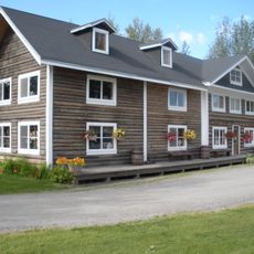
Rika's Landing Roadhouse
69.5 km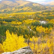
Chena River State Recreation Area
155.9 km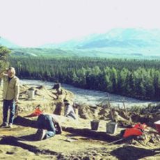
Dry Creek Archeological Site
161.2 km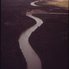
Tazlina River
162.2 km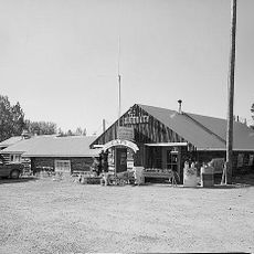
Sourdough Lodge
112.6 km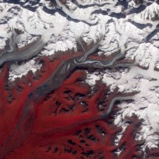
Susitna Glacier
44.5 km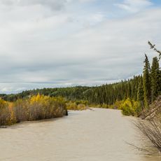
Slana River
118.4 km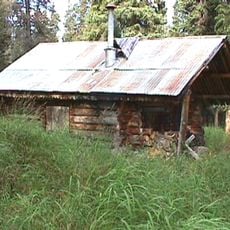
Riley Creek Ranger Cabin No. 20
153.4 km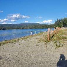
Birch Lake State Recreation Site
95.3 km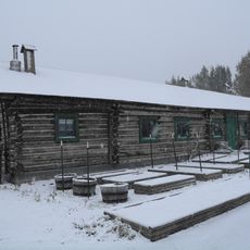
Sullivan Roadhouse
56.5 km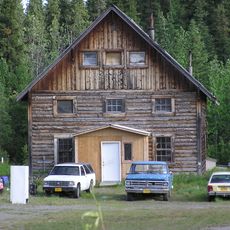
Slana Roadhouse
132.6 km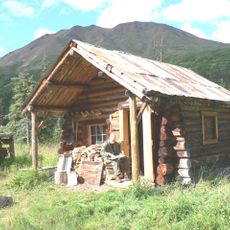
Upper Windy Creek Ranger Cabin No. 7
157.7 km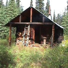
Lower Windy Creek Ranger Cabin No. 15
147.6 km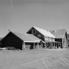
Gakona Historic District
139.6 km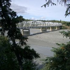
Johnson River
52.7 km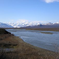
Maclaren River
57.1 km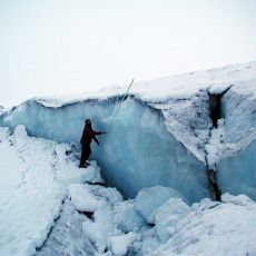
Canwell Glacier
31.2 km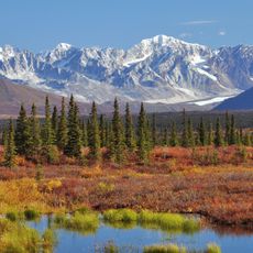
Nenana Glacier
87.8 km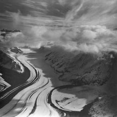
Yanert Glacier
92.2 km
Denali Visitor Center
152.8 km
Riley Creek Campground
151.8 kmReviews
Visited this place? Tap the stars to rate it and share your experience / photos with the community! Try now! You can cancel it anytime.
Discover hidden gems everywhere you go!
From secret cafés to breathtaking viewpoints, skip the crowded tourist spots and find places that match your style. Our app makes it easy with voice search, smart filtering, route optimization, and insider tips from travelers worldwide. Download now for the complete mobile experience.

A unique approach to discovering new places❞
— Le Figaro
All the places worth exploring❞
— France Info
A tailor-made excursion in just a few clicks❞
— 20 Minutes