Yukon–Charley Rivers National Preserve, national park and preserve of the United States located in east central Alaska
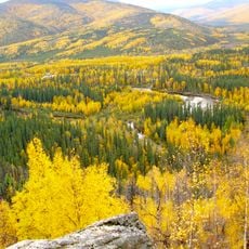
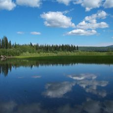
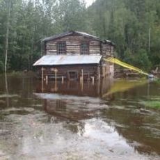
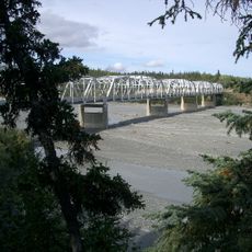
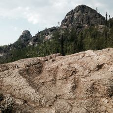
Yukon-Charley Rivers National Preserve is a large protected area in southeastern Alaska spanning two census regions and defined by two major river systems. The landscape features wide river valleys, forested hills, and open terrain that has remained largely unchanged for over a hundred years.
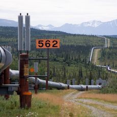
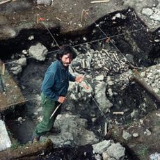
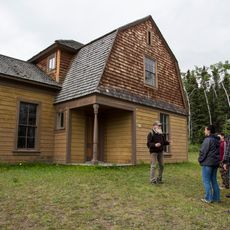
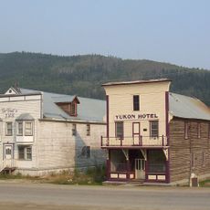
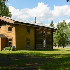
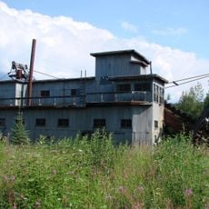
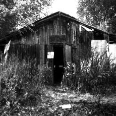
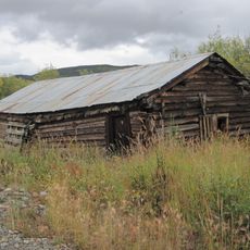
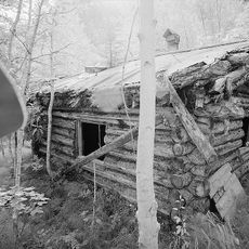
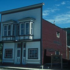
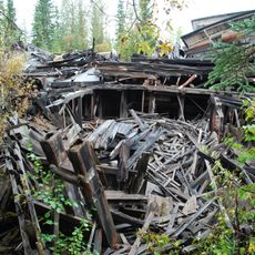
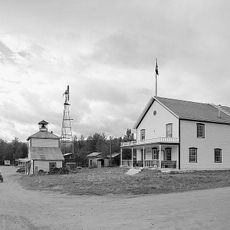
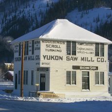
Native tribes inhabited the region for thousands of years, using the rivers and land for hunting, fishing, and trade. In the early 1900s, gold prospectors arrived seeking riches, leaving behind old trails and camp sites that remain visible along the riverbanks today.
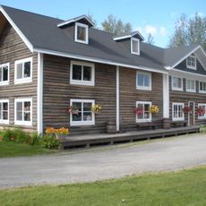
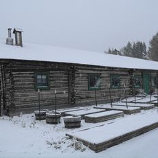
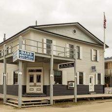
Most areas are not accessible by road, so visits are planned by boat or small aircraft. Free cabins are available along the Yukon River providing simple shelter for travelers who want to stay one or two nights in the wilderness.
The community of curious travelers
AroundUs brings together thousands of curated places, local tips, and hidden gems, enriched daily by 60,000 contributors worldwide.