
Biederman Bluff, cliff in Yukon–Koyukuk Census Area, United States of America
Location: Yukon-Koyukuk Census Area
GPS coordinates: 65.40500,-142.62556
Latest update: August 1, 2025 22:57
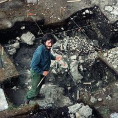
Bluefish Caves
173.1 km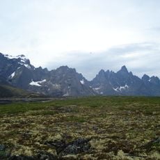
Tombstone Territorial Park
208.2 km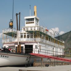
SS Keno
212.8 km
Yukon Flats National Wildlife Refuge
185.1 km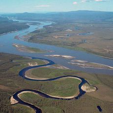
Yukon–Charley Rivers National Preserve
45.8 km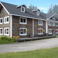
Rika's Landing Roadhouse
206.4 km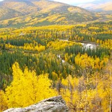
Chena River State Recreation Area
181.7 km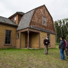
Fort Egbert
95.2 km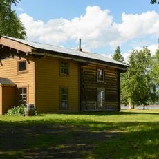
Slaven's Cabin
23.7 km
Coal Creek Historic Mining District
28.4 km
Biederman's Cabin
5.2 km
Kandik River
58.5 km
Sullivan Roadhouse
212.2 km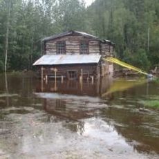
Steele Creek Roadhouse
141.3 km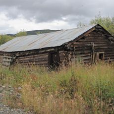
Chicken Historic District
151.7 km
George McGregor Cabin
24 km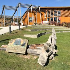
Dänojà Zho Cultural Centre
212.7 km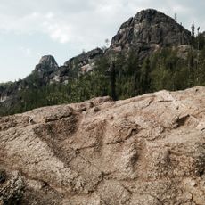
Angel Rocks Trail
173.2 km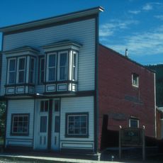
Ruby's Place
212.9 km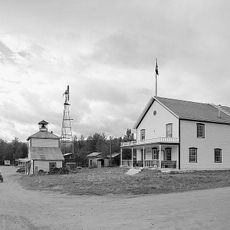
Eagle Historic District
95.6 km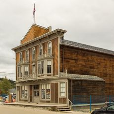
Palace Grand Theatre
212.9 km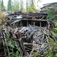
Paddlewheel Graveyard
210.8 km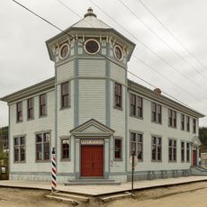
Post Office
212.9 km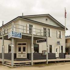
Bank of British North America
212.9 km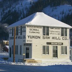
Yukon Sawmill Company Office
212.7 km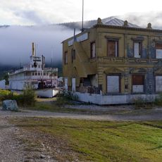
Canadian Bank of Commerce
212.8 km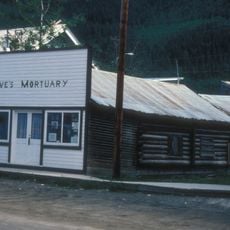
Lowe’s Mortuary
212.9 km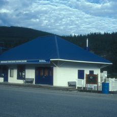
BYN Ticket Office
212.7 kmReviews
Visited this place? Tap the stars to rate it and share your experience / photos with the community! Try now! You can cancel it anytime.
Discover hidden gems everywhere you go!
From secret cafés to breathtaking viewpoints, skip the crowded tourist spots and find places that match your style. Our app makes it easy with voice search, smart filtering, route optimization, and insider tips from travelers worldwide. Download now for the complete mobile experience.

A unique approach to discovering new places❞
— Le Figaro
All the places worth exploring❞
— France Info
A tailor-made excursion in just a few clicks❞
— 20 Minutes