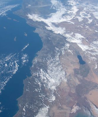
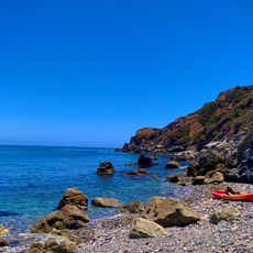
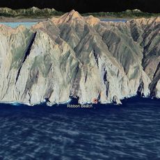
Southern California Bight, Curved coastal water body from Point Conception, California to Punta Colonet, Mexico.
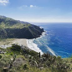
The Southern California Bight is a curved coastal formation along the Pacific Ocean that stretches from northern California to Baja California and is defined by several islands and bays. The region contains diverse ocean habitats with varying depths and water currents throughout.
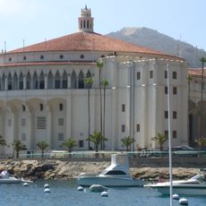
The first European exploration of this coastline occurred in the middle of the 16th century by Spanish seafarers. The region later developed as an important economic area shaped by shipping, commerce, and fishing activities.
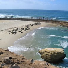
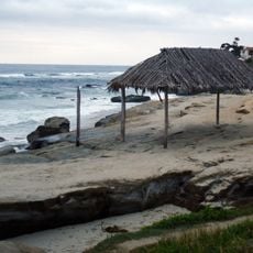
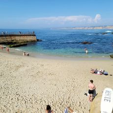
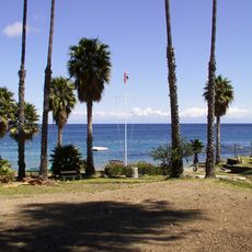
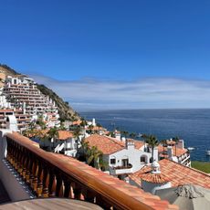
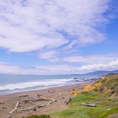
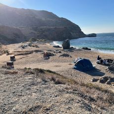
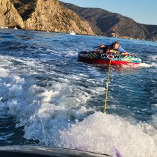
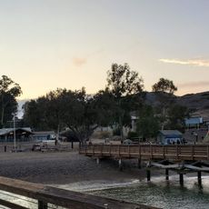
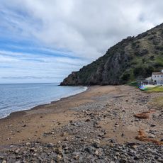
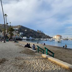
Coastal communities here maintain strong connections to the ocean, with beaches serving as gathering places for recreation and local traditions. Fishing and water sports shape daily life for residents and visitors alike.
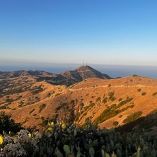
The northern areas are easily accessible through major coastal cities, while the southern portion is less populated and requires more time to explore. Visitors should check local conditions since weather and ocean currents vary significantly throughout the region.
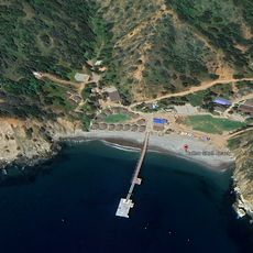
The area undergoes regular monitoring to track changes in the marine environment such as algal blooms and sediment quality. This ongoing observation helps scientists understand natural patterns and environmental shifts in this large ocean ecosystem.
The community of curious travelers
AroundUs brings together thousands of curated places, local tips, and hidden gems, enriched daily by 60,000 contributors worldwide.